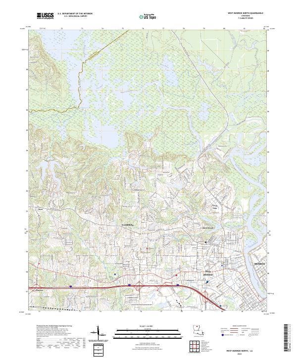
2024 Map of West Monroe North
USGS Topo · Published 2024About this map
The D'Arbonne National Wildlife Refuge dominates the northern reaches of this Louisiana landscape, where the waters of Bayou D'Arbonne and The Chute snake through a complex wetland system. This modern survey illustrates the intensive suburban development of Claiborne and West Monroe as they expand westward from the banks of the Ouachita River. While much of the area is defined by residential grids and arterial roads like Arkansas Rd, the map preserves significant local landmarks including the Hasley Cem and the recreational spaces of Kiroli Woods. To the east, the edge of Monroe is visible, separated by the river and characterized by a shift toward industrial and urban density. The intricate network of waterways, from North Tupawek Bayou to Black Bayou, highlights the hydrological character that continues to shape the region's growth and layout.
Find a feature on this map
215 named features on this map. Tap any name to fly to it.
Don’t see what you’re looking for? This feature index may not catch every label — zoom into the map to look around manually.
Map Details
Editions of this 2024 West Monroe North Map
This is the sole edition of this map. No revisions or reprints were ever made.
Other maps of this area

1935 · Drew
USGS Topo · 1:62,500

1940 · Monroe
USGS Topo · 1:62,500

1952 · Calhoun
USGS Topo · 1:62,500

1953 · Chatham
USGS Topo · 1:62,500

1955 · Shreveport
USGS Topo · 1:250,000

1956 · Shreveport
USGS Topo · 1:250,000

1957 · Monroe North
USGS Topo · 1:62,500

1957 · West Monroe North
USGS Topo · 1:24,000

1957 · West Monroe South
USGS Topo · 1:24,000

1957 · Monroe South
USGS Topo · 1:24,000