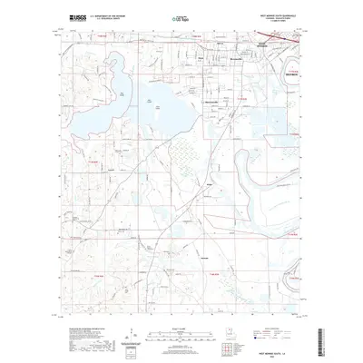
2020 Map of West Monroe South
USGS Topo · Published 2020About this map
Pucketts Lake and the complex wetlands of Cheniere Creek define the landscape south of West Monroe in this modern survey. The map details a transition from the urban fringes of Bawcomville and Brownsville into the low-lying bayous and brakes of the Ouachita River basin. Of particular interest to genealogists and local historians are the numerous small burial grounds and rural congregations tucked away on higher ground, including the Old Sardis and New Sardis cemeteries, and the Mount Vernon Church Cem. The geography is shaped by water, with Coon Island and Joes Island rising from the lake, while the southern reaches dissolve into the swampy terrain of Laping Brake and Watson Brake. The map tracks the evolution of local transport from the historic New Natchitoches Rd to the network of smaller rural routes like McHenry Gin Rd.
Find a feature on this map
159 named features on this map. Tap any name to fly to it.
Don’t see what you’re looking for? This feature index may not catch every label — zoom into the map to look around manually.
Map Details
Editions of this 2020 West Monroe South Map
This is the sole edition of this map. No revisions or reprints were ever made.
Other maps of this area

1935 · Drew
USGS Topo · 1:62,500

1940 · Monroe
USGS Topo · 1:62,500

1952 · Calhoun
USGS Topo · 1:62,500

1953 · Chatham
USGS Topo · 1:62,500

1955 · Shreveport
USGS Topo · 1:250,000

1956 · Shreveport
USGS Topo · 1:250,000

1957 · Monroe North
USGS Topo · 1:62,500

1957 · West Monroe North
USGS Topo · 1:24,000

1957 · West Monroe South
USGS Topo · 1:24,000

1957 · Monroe South
USGS Topo · 1:24,000