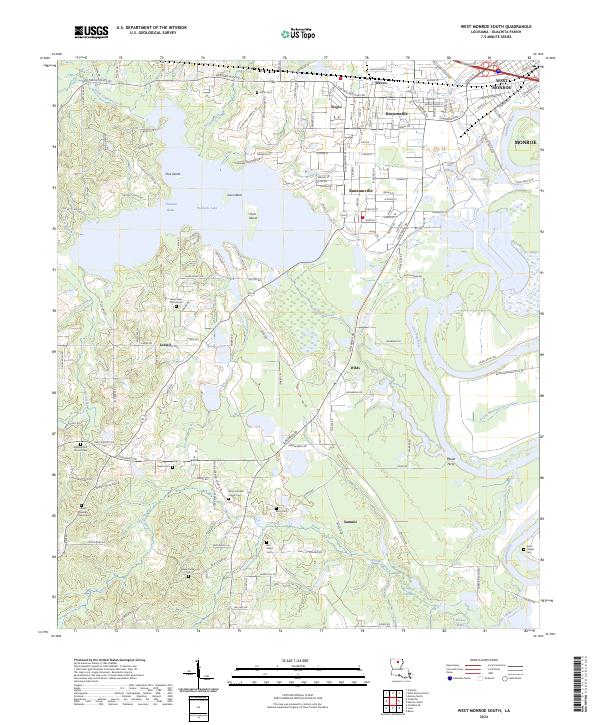
2024 Map of West Monroe South
USGS Topo · Published 2024About this map
The Ouachita River corridor south of West Monroe reveals a landscape defined by expansive wetlands and established rural communities. Large water bodies such as Cheniere Brake and Pucketts Lake dominate the western terrain, punctuated by named landforms like Pine Island, Joes Island, and Coon Island. This region, documented in 2024, shows a dense network of residential streets in Bawcomville, Brownsville, and Siegle as they transition into the lower-lying bottoms near Wilds and Summit.
Find a feature on this map
175 named features on this map. Tap any name to fly to it.
Don’t see what you’re looking for? This feature index may not catch every label — zoom into the map to look around manually.
Map Details
Editions of this 2024 West Monroe South Map
This is the sole edition of this map. No revisions or reprints were ever made.
Other maps of this area

1935 · Drew
USGS Topo · 1:62,500

1940 · Monroe
USGS Topo · 1:62,500

1952 · Calhoun
USGS Topo · 1:62,500

1953 · Chatham
USGS Topo · 1:62,500

1955 · Shreveport
USGS Topo · 1:250,000

1956 · Shreveport
USGS Topo · 1:250,000

1957 · Monroe North
USGS Topo · 1:62,500

1957 · West Monroe North
USGS Topo · 1:24,000

1957 · West Monroe South
USGS Topo · 1:24,000

1957 · Monroe South
USGS Topo · 1:24,000