
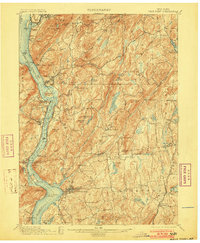
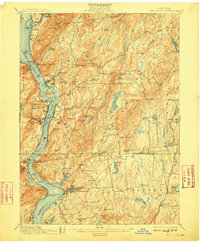
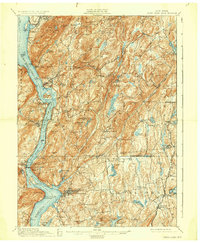
1901 Map of West Point
USGS Topo · Published 1901About this map
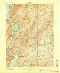
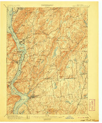
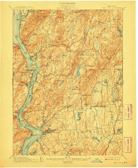
The West Point military academy and the surrounding Hudson Highlands are depicted here in detail following surveys conducted by Frank Sutton and Robert Muldrow. The landscape is defined by the steep elevation of Storm King, Bull Hill, and Anthonys Nose, while the river corridor is busy with the transport networks of the New York Central and Hudson River Railroad and the West Shore Railroad.
Find a feature on this map
118 named features on this map. Tap any name to fly to it.
Don’t see what you’re looking for? This feature index may not catch every label — zoom into the map to look around manually.
Map Details
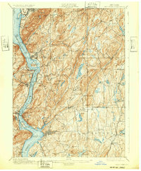
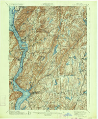
Editions of this 1901 West Point Map
12 editions found
1901 edition
16.6 x 20.2 inches
1903 edition
16.6 x 20.2 inches
1905 edition
16.6 x 20.1 inches
1906 edition
16.6 x 20.1 inches
1908 edition
16.6 x 20.2 inches
1909 edition
16.6 x 20.1 inches
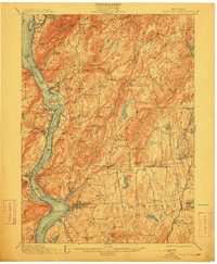
1912 edition
16.6 x 20.2 inches
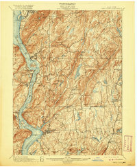
1920 edition
16.6 x 20.2 inches
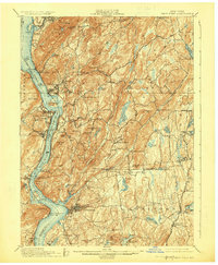
1924 edition
16.6 x 20.2 inches
1930 edition
16.6 x 20.2 inches
1932 edition
16.6 x 20.1 inches
1934 edition
16.6 x 20 inches
Other maps of this area

1891 · Ramapo
USGS Topo · 1:62,500

1892 · Stamford
USGS Topo · 1:62,500

1892 · West Point
USGS Topo · 1:62,500

1892 · Carmel
USGS Topo · 1:62,500

1892 · Tarrytown
USGS Topo · 1:62,500

1893 · Carmel
USGS Topo · 1:62,500

1893 · Stamford
USGS Topo · 1:62,500

1893 · Tarrytown
USGS Topo · 1:62,500

1893 · Ramapo
USGS Topo · 1:62,500

1893 · Clove
USGS Topo · 1:62,500