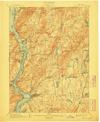
1901 Map of West Point
USGS Topo · Published 1908About this map
West Point dominates the western bank of the Hudson River in this turn-of-the-century topographic study, showing the military academy alongside its historic neighbor Ft. Putnam. The river corridor is a hive of industrial-era transport, with the West Shore Railroad and the New York Central and Hudson River Railroad hugging opposite banks. To the east, the landscape transitions into the steep highlands of Philipstown and Putnam Valley, where isolated hamlets like Mc Keel Corners and Dennytown dot the interior ridges. The eastern edge of the map reveals the industrial footprint of the Mahopac Mines and the Mahopac Mines Branch, highlighting the area's history of resource extraction before the expansion of the New York City watershed system. Numerous family-named corners, such as Nelson Corners and Adams Corners, provide a rich record of the rural population centers that defined the region before the rise of modern suburbanization.
Find a feature on this map
130 named features on this map. Tap any name to fly to it.
Don’t see what you’re looking for? This feature index may not catch every label — zoom into the map to look around manually.
Map Details
Editions of this 1901 West Point Map
12 editions found

1901 edition
16.6 x 20.2 inches
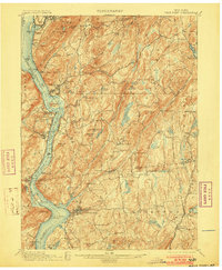
1903 edition
16.6 x 20.2 inches
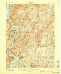
1905 edition
16.6 x 20.1 inches
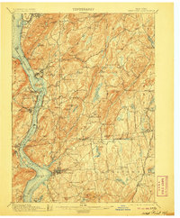
1906 edition
16.6 x 20.1 inches
1908 edition
16.6 x 20.2 inches
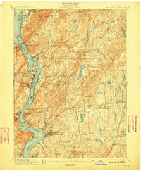
1909 edition
16.6 x 20.1 inches
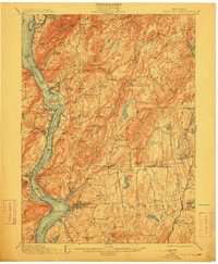
1912 edition
16.6 x 20.2 inches
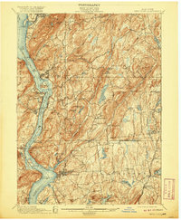
1920 edition
16.6 x 20.2 inches
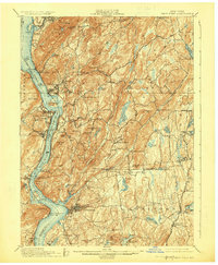
1924 edition
16.6 x 20.2 inches
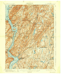
1930 edition
16.6 x 20.2 inches
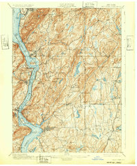
1932 edition
16.6 x 20.1 inches
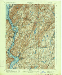
1934 edition
16.6 x 20 inches
Other maps of this area

1891 · Ramapo
USGS Topo · 1:62,500

1892 · Stamford
USGS Topo · 1:62,500

1892 · West Point
USGS Topo · 1:62,500

1892 · Carmel
USGS Topo · 1:62,500

1892 · Tarrytown
USGS Topo · 1:62,500

1893 · Carmel
USGS Topo · 1:62,500

1893 · Stamford
USGS Topo · 1:62,500

1893 · Tarrytown
USGS Topo · 1:62,500

1893 · Ramapo
USGS Topo · 1:62,500

1893 · Clove
USGS Topo · 1:62,500