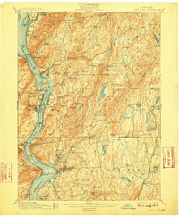
1901 Map of West Point
USGS Topo · Published 1909About this map
The Hudson River serves as the central artery of this region, carved between the formidable heights of Storm King and Breakneck Ridge. This turn-of-the-century landscape is dominated by the military presence at West Point, where Fort Putnam and the Lusk Reservoir overlook the river's narrowest points. The rugged eastern shore is punctuated by riverfront settlements like Cold Spring, Garrison, and Highland Falls, while the interior of Putnam Valley and Yorktown reveals a complex network of brooks and small lakes like Oscawana Lake.
Find a feature on this map
134 named features on this map. Tap any name to fly to it.
Don’t see what you’re looking for? This feature index may not catch every label — zoom into the map to look around manually.
Map Details
Editions of this 1901 West Point Map
12 editions found

1901 edition
16.6 x 20.2 inches
1903 edition
16.6 x 20.2 inches
1905 edition
16.6 x 20.1 inches
1906 edition
16.6 x 20.1 inches
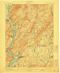
1908 edition
16.6 x 20.2 inches
1909 edition
16.6 x 20.1 inches
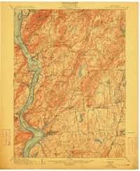
1912 edition
16.6 x 20.2 inches
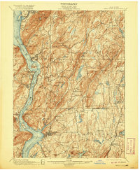
1920 edition
16.6 x 20.2 inches
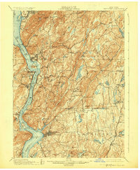
1924 edition
16.6 x 20.2 inches
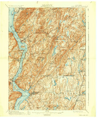
1930 edition
16.6 x 20.2 inches
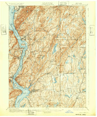
1932 edition
16.6 x 20.1 inches
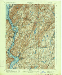
1934 edition
16.6 x 20 inches
Other maps of this area

1891 · Ramapo
USGS Topo · 1:62,500

1892 · Stamford
USGS Topo · 1:62,500

1892 · West Point
USGS Topo · 1:62,500

1892 · Carmel
USGS Topo · 1:62,500

1892 · Tarrytown
USGS Topo · 1:62,500

1893 · Carmel
USGS Topo · 1:62,500

1893 · Stamford
USGS Topo · 1:62,500

1893 · Tarrytown
USGS Topo · 1:62,500

1893 · Ramapo
USGS Topo · 1:62,500

1893 · Clove
USGS Topo · 1:62,500