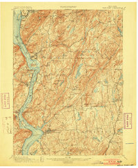
1901 Map of West Point
USGS Topo · Published 1903About this map
West Point stands as the central landmark in this 1890s survey, overlooking a strategically vital stretch of the Hudson River where the West Shore Railroad and the New York Central and Hudson River Railroad parallel the water. The landscape is defined by the high elevations of the Hudson Highlands, including Storm King, Anthony's Nose, and Dunderberg. To the east, the map reveals the industrial and agricultural interior of Putnam and Westchester Counties, where the Mahopac Mines and the Mahopac Mines Branch indicate the region's mineral importance.
Find a feature on this map
119 named features on this map. Tap any name to fly to it.
Don’t see what you’re looking for? This feature index may not catch every label — zoom into the map to look around manually.
Map Details
Editions of this 1901 West Point Map
12 editions found

1901 edition
16.6 x 20.2 inches
1903 edition
16.6 x 20.2 inches
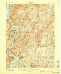
1905 edition
16.6 x 20.1 inches
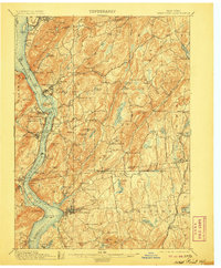
1906 edition
16.6 x 20.1 inches
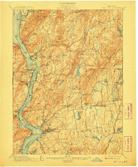
1908 edition
16.6 x 20.2 inches
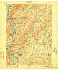
1909 edition
16.6 x 20.1 inches
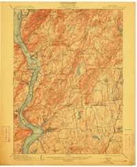
1912 edition
16.6 x 20.2 inches
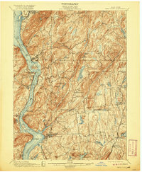
1920 edition
16.6 x 20.2 inches
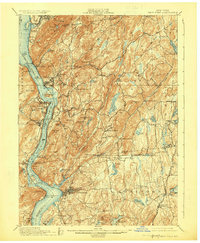
1924 edition
16.6 x 20.2 inches
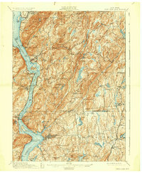
1930 edition
16.6 x 20.2 inches
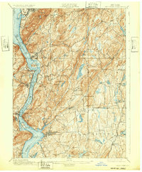
1932 edition
16.6 x 20.1 inches
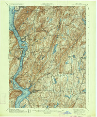
1934 edition
16.6 x 20 inches
Other maps of this area

1891 · Ramapo
USGS Topo · 1:62,500

1892 · Stamford
USGS Topo · 1:62,500

1892 · West Point
USGS Topo · 1:62,500

1892 · Carmel
USGS Topo · 1:62,500

1892 · Tarrytown
USGS Topo · 1:62,500

1893 · Carmel
USGS Topo · 1:62,500

1893 · Stamford
USGS Topo · 1:62,500

1893 · Tarrytown
USGS Topo · 1:62,500

1893 · Ramapo
USGS Topo · 1:62,500

1893 · Clove
USGS Topo · 1:62,500