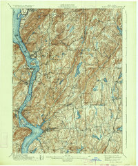
1901 Map of West Point
USGS Topo · Published 1934About this map
Hudson River navigation and the military significance of the Highlands define this early 20th-century survey. The terrain is marked by steep ridges and tactical landmarks like West Point and Constitution Island, which sit across from Garrison. Industrial and infrastructure development is evident in the Mahopac Mines to the east and the presence of the Central New England RR. The map captures a moment before the modern parkway system transformed the valley, showing the traditional ferry and rail-oriented layout of river towns like Cold Spring, Peekskill, and Dutchess Junction. Large water projects are visible through the Muscoot Reservoir and New Croton Reservoir, reflecting the region's role in supplying the metropolitan area. Notable landmarks such as Bear Mountain Bridge and Anthonys Nose anchor the southern reach of the Highlands.
Find a feature on this map
120 named features on this map. Tap any name to fly to it.
Don’t see what you’re looking for? This feature index may not catch every label — zoom into the map to look around manually.
Map Details
Editions of this 1901 West Point Map
12 editions found

1901 edition
16.6 x 20.2 inches
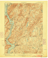
1903 edition
16.6 x 20.2 inches
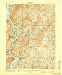
1905 edition
16.6 x 20.1 inches
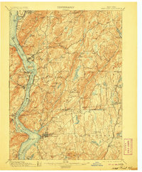
1906 edition
16.6 x 20.1 inches
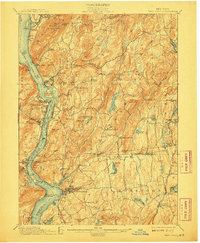
1908 edition
16.6 x 20.2 inches
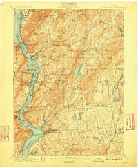
1909 edition
16.6 x 20.1 inches
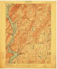
1912 edition
16.6 x 20.2 inches
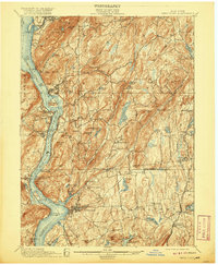
1920 edition
16.6 x 20.2 inches
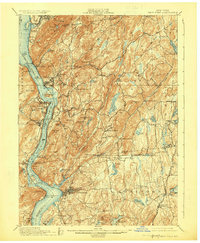
1924 edition
16.6 x 20.2 inches
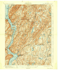
1930 edition
16.6 x 20.2 inches
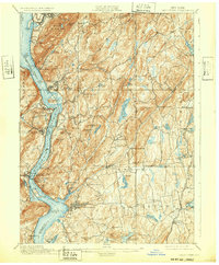
1932 edition
16.6 x 20.1 inches
1934 edition
16.6 x 20 inches
Other maps of this area

1891 · Ramapo
USGS Topo · 1:62,500

1892 · Stamford
USGS Topo · 1:62,500

1892 · West Point
USGS Topo · 1:62,500

1892 · Carmel
USGS Topo · 1:62,500

1892 · Tarrytown
USGS Topo · 1:62,500

1893 · Carmel
USGS Topo · 1:62,500

1893 · Stamford
USGS Topo · 1:62,500

1893 · Tarrytown
USGS Topo · 1:62,500

1893 · Ramapo
USGS Topo · 1:62,500

1893 · Clove
USGS Topo · 1:62,500