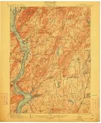
1901 Map of West Point
USGS Topo · Published 1912About this map
West Point and its iconic military landmarks like Ft Putnam anchor this 1901 survey of the Hudson Highlands, captured before the rapid industrial changes of the early 20th century. The Hudson River serves as the central artery, flanked by the New York Central and Hudson River Railroad on the east bank and the West Shore Railroad on the west. This transportation corridor connects established riverside towns like Cold Spring and Garrison with military and state infrastructure, including the State Camp near Peekskill Creek.
Find a feature on this map
124 named features on this map. Tap any name to fly to it.
Don’t see what you’re looking for? This feature index may not catch every label — zoom into the map to look around manually.
Map Details
Editions of this 1901 West Point Map
12 editions found

1901 edition
16.6 x 20.2 inches
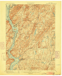
1903 edition
16.6 x 20.2 inches
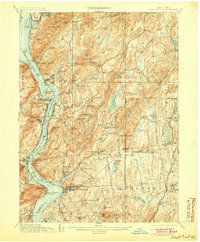
1905 edition
16.6 x 20.1 inches
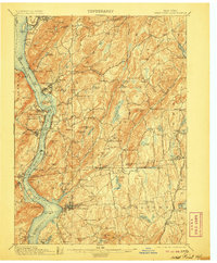
1906 edition
16.6 x 20.1 inches
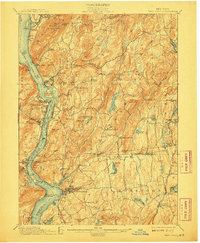
1908 edition
16.6 x 20.2 inches
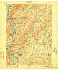
1909 edition
16.6 x 20.1 inches
1912 edition
16.6 x 20.2 inches
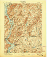
1920 edition
16.6 x 20.2 inches
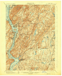
1924 edition
16.6 x 20.2 inches
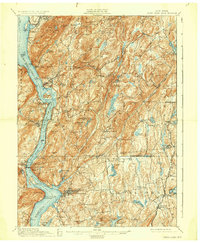
1930 edition
16.6 x 20.2 inches
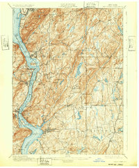
1932 edition
16.6 x 20.1 inches
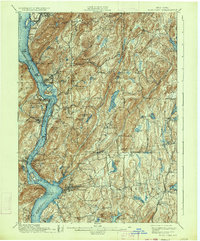
1934 edition
16.6 x 20 inches
Other maps of this area

1891 · Ramapo
USGS Topo · 1:62,500

1892 · Stamford
USGS Topo · 1:62,500

1892 · West Point
USGS Topo · 1:62,500

1892 · Carmel
USGS Topo · 1:62,500

1892 · Tarrytown
USGS Topo · 1:62,500

1893 · Carmel
USGS Topo · 1:62,500

1893 · Stamford
USGS Topo · 1:62,500

1893 · Tarrytown
USGS Topo · 1:62,500

1893 · Ramapo
USGS Topo · 1:62,500

1893 · Clove
USGS Topo · 1:62,500