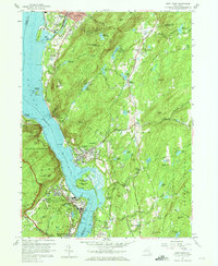
1957 Map of West Point
USGS Topo · Published 1965About this map
The U S Military Academy grounds at West Point dominate the southern Hudson Highlands in this mid-century survey. The detailed campus layout includes Michie Stadium, the Gymnasium, and the high-security U S Silver Depository tucked into the hills. Across the Hudson River, the village of Cold Spring and the St Josephs Novitiate sit at the base of Bull Hill, while the New York Central railroad tracks follow the river's edge through Dutchess Junction. This era of the Highlands shows a landscape defined by significant institutional footprints and strategic river crossings. Steep peaks like Storm King Mtn and Breakneck Ridge frame the waterway, emphasizing the challenging terrain that historically guarded the river passage and shaped the development of nearby Beacon and Highland Falls.
Find a feature on this map
103 named features on this map. Tap any name to fly to it.
Don’t see what you’re looking for? This feature index may not catch every label — zoom into the map to look around manually.
Map Details
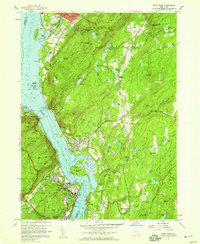
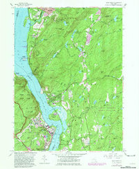
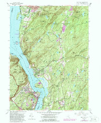
Editions of this 1957 West Point Map
4 editions found
Other maps of this area

1892 · West Point
USGS Topo · 1:62,500

1893 · Poughkeepsie
USGS Topo · 1:62,500

1894 · West Point
USGS Topo · 1:62,500

1894 · Poughkeepsie
USGS Topo · 1:62,500

1899 · West Point
USGS Topo · 1:62,500

1901 · West Point
USGS Topo · 1:62,500

1902 · Schunemunk
USGS Topo · 1:62,500

1903 · Poughkeepsie
USGS Topo · 1:62,500

1903 · Newburg
USGS Topo · 1:62,500

1930 · Schunemunk
USGS Topo · 1:48,000