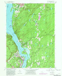
1957 Map of West Point
USGS Topo · Published 1981About this map
The U S Military Academy at West Point anchors this mid-century topographic record, showing the storied campus and its strategic river geography. The map detail extends across the Hudson River to the village of Cold Spring and the rising peaks of Highlands terrain. Institutional presence is heavy throughout the area, from the U S Silver Depository and Michie Stadium to religious and educational sites like St Josephs Novitiate and St Lawrence Seminary.
Find a feature on this map
101 named features on this map. Tap any name to fly to it.
Don’t see what you’re looking for? This feature index may not catch every label — zoom into the map to look around manually.
Map Details
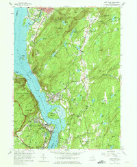
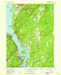
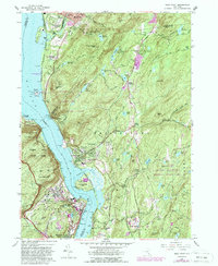
Editions of this 1957 West Point Map
4 editions found
Other maps of this area

1892 · West Point
USGS Topo · 1:62,500

1893 · Poughkeepsie
USGS Topo · 1:62,500

1894 · West Point
USGS Topo · 1:62,500

1894 · Poughkeepsie
USGS Topo · 1:62,500

1899 · West Point
USGS Topo · 1:62,500

1901 · West Point
USGS Topo · 1:62,500

1902 · Schunemunk
USGS Topo · 1:62,500

1903 · Poughkeepsie
USGS Topo · 1:62,500

1903 · Newburg
USGS Topo · 1:62,500

1930 · Schunemunk
USGS Topo · 1:48,000