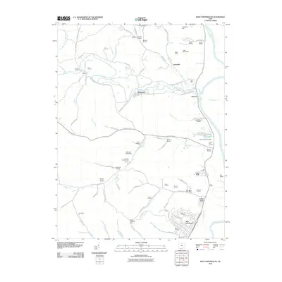
2010 Map of West Portsmouth
USGS Topo · Published 2010About this map
Tremper Mound stands as a prominent landmark on the western terrace of the Scioto River, south of Rushtown. This 2010 survey illustrates the complex topography of Scioto County, where the river plain meets the dissected uplands of the Appalachian Plateau. The settlement pattern is defined by clusters like West Portsmouth and McDermott, connected by winding routes such as Tatman Arion Rd and Careys Run Pond Creek Rd. Numerous family and community burial grounds, including Scioto Burial Park, Mershon-Swords Cemetery, and Lute Cemetery, are scattered across the ridges and hollows, offering a detailed map for genealogical research. The map also records the influence of local geography on industry and recreation, from the Book Siding rail feature to the Elks Country Club Dam.
Find a feature on this map
107 named features on this map. Tap any name to fly to it.
Don’t see what you’re looking for? This feature index may not catch every label — zoom into the map to look around manually.
Map Details
Editions of this 2010 West Portsmouth Map
This is the sole edition of this map. No revisions or reprints were ever made.
Other maps of this area

1911 · Sciotoville
USGS Topo · 1:62,500

1913 · Sciotoville
USGS Topo · 1:62,500

1915 · Garrison
USGS Topo · 1:62,500

1915 · Otway
USGS Topo · 1:62,500

1917 · Otway
USGS Topo · 1:62,500

1918 · Garrison
USGS Topo · 1:62,500

1926 · Greenup
USGS Topo · 1:48,000

1930 · Greenup
USGS Topo · 1:62,500

1949 · Pond Run
USGS Topo · 1:24,000

1949 · Friendship
USGS Topo · 1:24,000