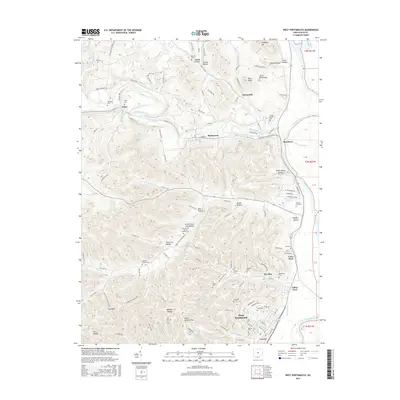
2016 Map of West Portsmouth
USGS Topo · Published 2016About this map
Tremper Mound stands as a significant archaeological landmark along the western banks of the Scioto River, marking a landscape deeply shaped by both ancient and modern history. The confluence of Scioto Brush Creek and the river defines the regional topography, where settlements like McDermott and Rushtown developed along the valley floors. The uplands are dissected by numerous hollows, including Crowe Hollow and Noel Hollow, which provide a glimpse into the isolated drainage patterns of the southern Ohio hill country.
Find a feature on this map
140 named features on this map. Tap any name to fly to it.
Don’t see what you’re looking for? This feature index may not catch every label — zoom into the map to look around manually.
Map Details
Editions of this 2016 West Portsmouth Map
This is the sole edition of this map. No revisions or reprints were ever made.
Other maps of this area

1911 · Sciotoville
USGS Topo · 1:62,500

1913 · Sciotoville
USGS Topo · 1:62,500

1915 · Garrison
USGS Topo · 1:62,500

1915 · Otway
USGS Topo · 1:62,500

1917 · Otway
USGS Topo · 1:62,500

1918 · Garrison
USGS Topo · 1:62,500

1926 · Greenup
USGS Topo · 1:48,000

1930 · Greenup
USGS Topo · 1:62,500

1949 · Pond Run
USGS Topo · 1:24,000

1949 · Friendship
USGS Topo · 1:24,000