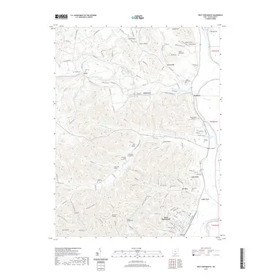
2019 Map of West Portsmouth
USGS Topo · Published 2019About this map
Scioto Brush Creek meanders through the northern hills of Scioto County before joining the Scioto River near Rushtown. This landscape is defined by deep hollows and high knobs, including Buck Knob and Peach Orchard Hill, where small communities like McDermott and Arion are connected by a network of winding county and township roads. The map reveals a dense distribution of family and community burial sites, from the prominent Scioto Burial Park to smaller locations like the Mershon-Swords Cem and Duncan Cem. To the south, the terrain descends toward West Portsmouth and the river valley, where residential clusters at Coles Park and Valley View sit near the ancient Tremper Mound. The concentration of cemeteries and named hollows like Cave Lick Hollow suggests a long-settled rural history where geography and lineage are deeply intertwined.
Find a feature on this map
138 named features on this map. Tap any name to fly to it.
Don’t see what you’re looking for? This feature index may not catch every label — zoom into the map to look around manually.
Map Details
Editions of this 2019 West Portsmouth Map
This is the sole edition of this map. No revisions or reprints were ever made.
Other maps of this area

1911 · Sciotoville
USGS Topo · 1:62,500

1913 · Sciotoville
USGS Topo · 1:62,500

1915 · Garrison
USGS Topo · 1:62,500

1915 · Otway
USGS Topo · 1:62,500

1917 · Otway
USGS Topo · 1:62,500

1918 · Garrison
USGS Topo · 1:62,500

1926 · Greenup
USGS Topo · 1:48,000

1930 · Greenup
USGS Topo · 1:62,500

1949 · Pond Run
USGS Topo · 1:24,000

1949 · Friendship
USGS Topo · 1:24,000