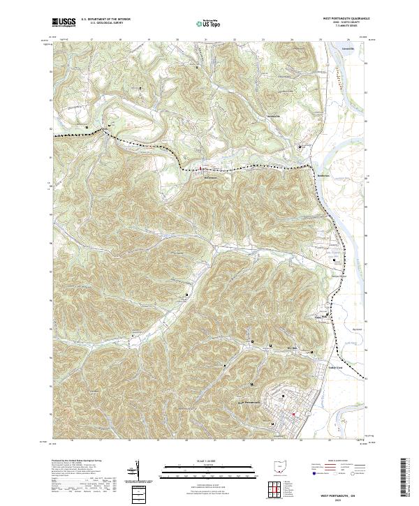
2023 Map of West Portsmouth
USGS Topo · Published 2023About this map
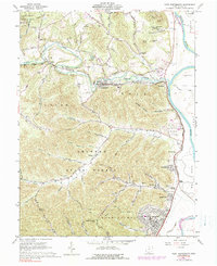
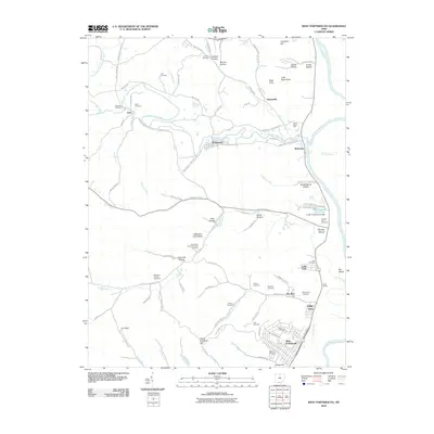
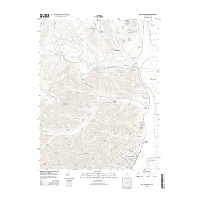
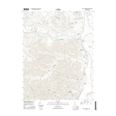
West Portsmouth and the lower reach of the Scioto River anchor this topographic study of south-central Ohio. The landscape is defined by the winding course of Scioto Brush Creek and the intricate ravines of Noel Hollow and Sheep Ranch Hollow. For genealogists and local historians, the map is remarkably dense with burial grounds, ranging from the large Scioto Burial Park to family and denominational sites like Mershon-Swords Cem, Holy Trinity Roman Catholic Cem, and the Lute Cem.
Find a feature on this map
127 named features on this map. Tap any name to fly to it.
Don’t see what you’re looking for? This feature index may not catch every label — zoom into the map to look around manually.
Map Details
Editions of this 2023 West Portsmouth Map
This is the sole edition of this map. No revisions or reprints were ever made.
Historical Maps of Coles Park Through Time
6 maps found