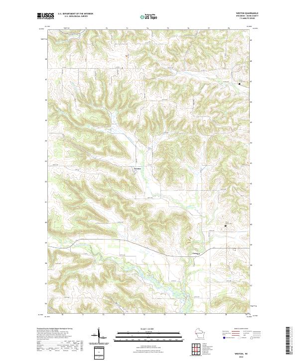
2022 Map of Weston
USGS Topo · Published 2022About this map
Weston and the small crossroads of Comfort anchor this rural landscape in Dunn County, where the topography is defined by the winding valley of Knights Cr and its tributaries. The terrain transitions from high plateaus down into deep drainages like Weber Valley, reflecting the unglaciated character of western Wisconsin. Along the lower elevations, the Eau Galle River cuts across the southern portion of the sheet, providing a primary waterway for the region.
Find a feature on this map
57 named features on this map. Tap any name to fly to it.
Don’t see what you’re looking for? This feature index may not catch every label — zoom into the map to look around manually.
Map Details
Editions of this 2022 Weston Map
This is the sole edition of this map. No revisions or reprints were ever made.
Historical Maps of Menomonie Through Time
28 maps found

1972 Colfax South
Dunn County, WI

1972 Durand North
Dunn County, WI

1972 Elk Creek Lake
Dunn County, WI
1972 Falls City
Dunn County, WI

1972 Menomonie North
Dunn County, WI
1972 Menomonie South
Dunn County, WI

1972 Meridean
Dunn County, WI

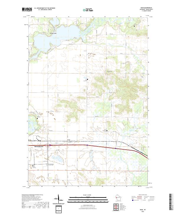
1972 Rusk
Dunn County, WI

1974 Weston
Dunn County, WI

1975 Colfax North
Dunn County, WI

1975 Connorsville
Dunn County, WI

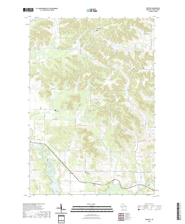
1975 Norton
Dunn County, WI

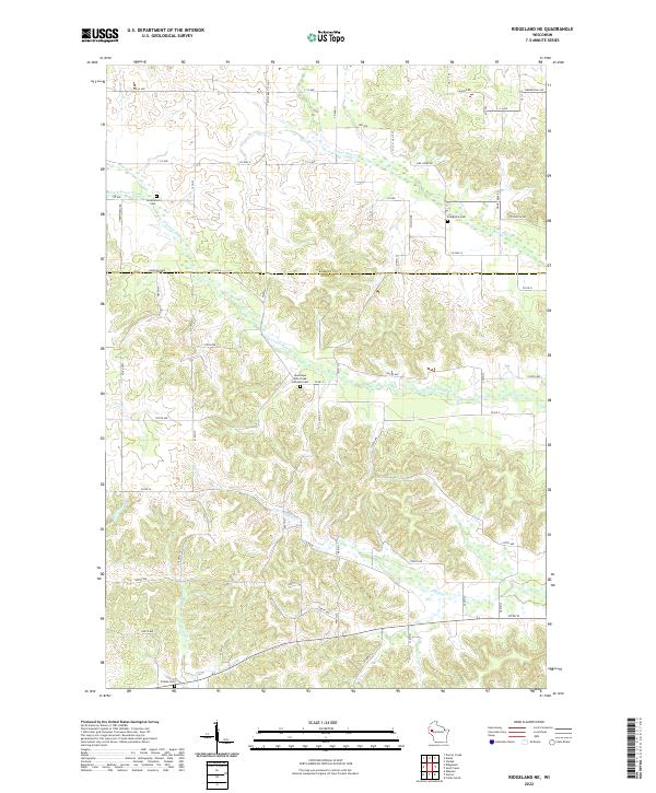
1975 Ridgeland NE
Dunn County, WI

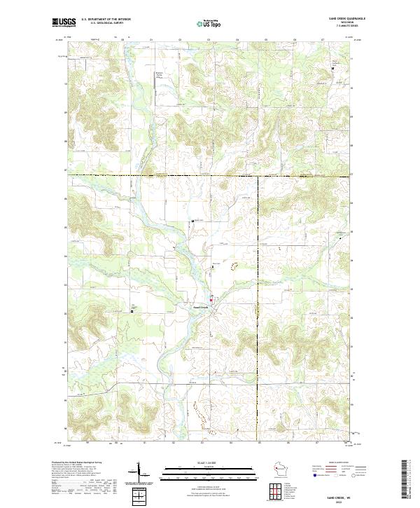
1975 Sand Creek
Dunn County, WI
2022 Colfax North
Dunn County, WI
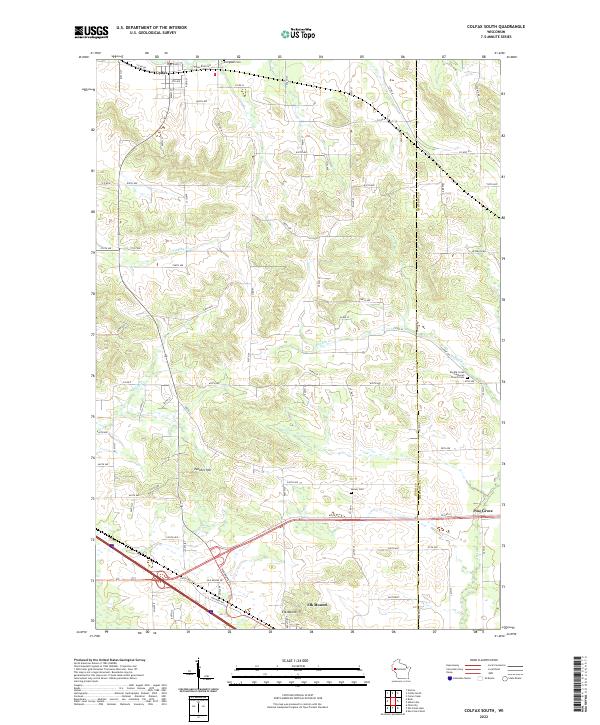
2022 Colfax South
Dunn County, WI
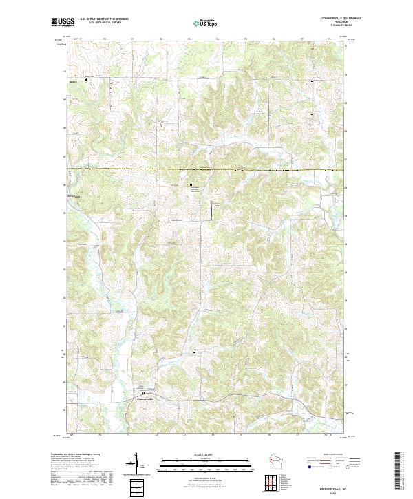
2022 Connorsville
Dunn County, WI
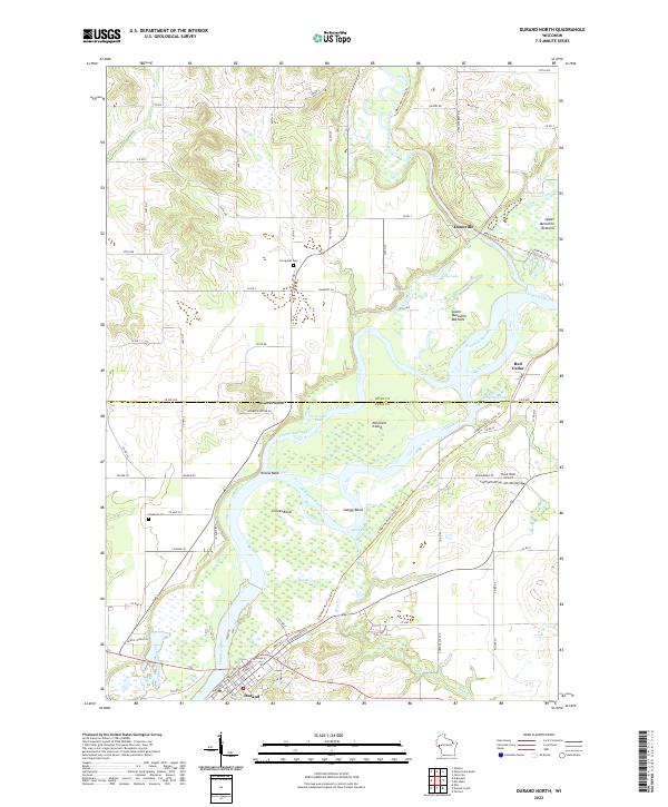
2022 Durand North
Dunn County, WI
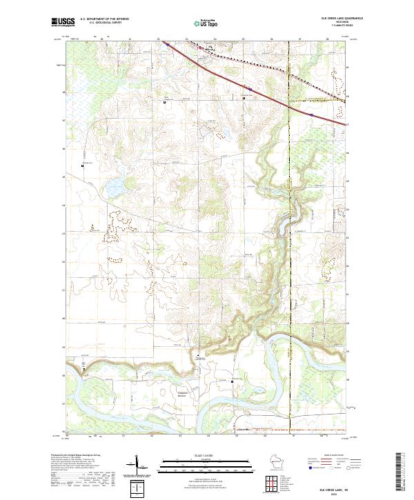
2022 Elk Creek Lake
Dunn County, WI
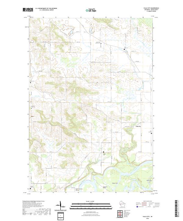
2022 Falls City
Dunn County, WI
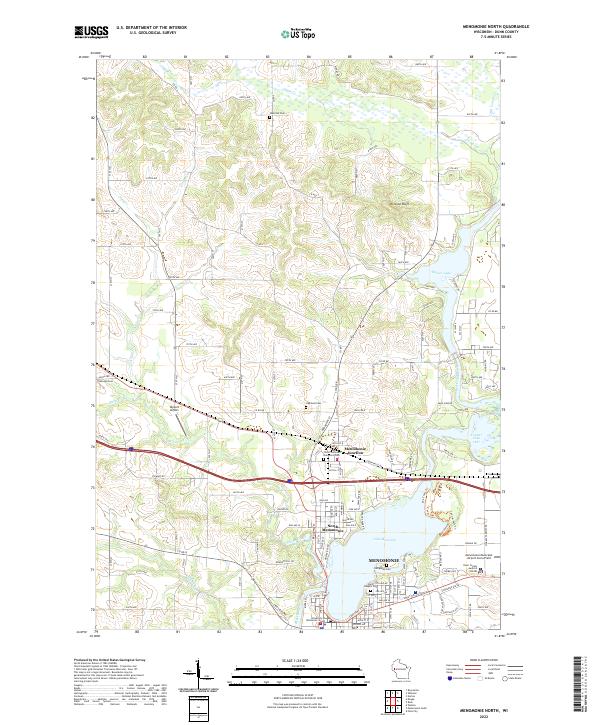
2022 Menomonie North
Dunn County, WI
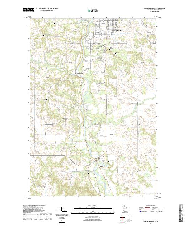
2022 Menomonie South
Dunn County, WI
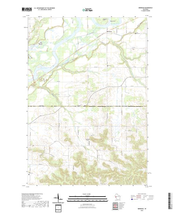
2022 Meridean
Dunn County, WI
2022 Norton
Dunn County, WI
2022 Ridgeland NE
Dunn County, WI
2022 Rusk
Dunn County, WI
2022 Sand Creek
Dunn County, WI
2022 Weston
Dunn County, WI