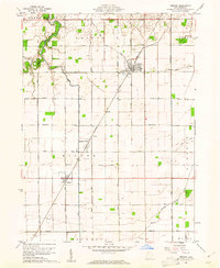
1960 Map of Weston
USGS Topo · Published 1961About this map
Weston stands as a central hub on this 1960s landscape, positioned along the Baltimore and Ohio railroad which cuts diagonally through the agricultural heart of Wood County. The surrounding townships of Weston, Milton, and Jackson are defined by a rigid grid of rural roads such as Maplewood Road and Mermill Road, occasionally interrupted by the winding courses of Beaver Creek and the North Branch Portage River.
Find a feature on this map
39 named features on this map. Tap any name to fly to it.
Don’t see what you’re looking for? This feature index may not catch every label — zoom into the map to look around manually.
Map Details
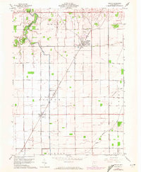
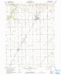
Editions of this 1960 Weston Map
3 editions found
Other maps of this area

1901 · Bowling Green
USGS Topo · 1:62,500

1903 · Bowling Green
USGS Topo · 1:62,500

1903 · Findlay
USGS Topo · 1:62,500

1909 · Mc Clure
USGS Topo · 1:62,500

1935 · Grand Rapids
USGS Topo · 1:24,000
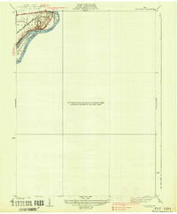
1938 · Tontogany
USGS Topo · 1:31,680

1940 · Grand Rapids
USGS Topo · 1:31,680
1952 · Tontogany
USGS Topo · 1:24,000
1952 · Grand Rapids
USGS Topo · 1:24,000

1956 · Toledo
USGS Topo · 1:250,000