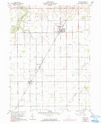
1960 Map of Weston
USGS Topo · Published 1991About this map
Agricultural lands and rural townships define this Wood County landscape as it appeared in the early 1960s. The Baltimore and Ohio railroad serves as the primary industrial corridor, cutting diagonally through the map and anchoring the small communities of Milton Center and Custar. These settlements, along with the larger town of Weston, are connected by a rigid grid of namesake roads such as Mermill Road and Sand Ridge Road, reflecting the organized land division of the Ohio Plain.
Find a feature on this map
32 named features on this map. Tap any name to fly to it.
Don’t see what you’re looking for? This feature index may not catch every label — zoom into the map to look around manually.
Map Details
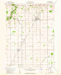
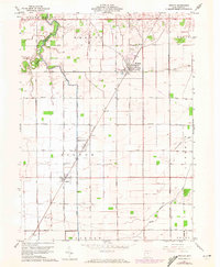
Editions of this 1960 Weston Map
3 editions found
Other maps of this area

1901 · Bowling Green
USGS Topo · 1:62,500

1903 · Bowling Green
USGS Topo · 1:62,500

1903 · Findlay
USGS Topo · 1:62,500

1909 · Mc Clure
USGS Topo · 1:62,500

1935 · Grand Rapids
USGS Topo · 1:24,000
1938 · Tontogany
USGS Topo · 1:31,680

1940 · Grand Rapids
USGS Topo · 1:31,680
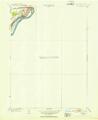
1952 · Tontogany
USGS Topo · 1:24,000
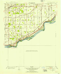
1952 · Grand Rapids
USGS Topo · 1:24,000

1956 · Toledo
USGS Topo · 1:250,000