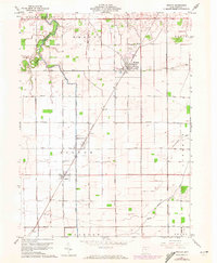
1960 Map of Weston
USGS Topo · Published 1972About this map
The Baltimore and Ohio railroad corridor anchors this survey of Wood County, Ohio, tracing a vital industrial artery through the agricultural landscape of Weston and Milton Center. The terrain is remarkably flat, shaped by significant drainage works like the Cutoff Ditch and natural watercourses such as the North Branch Portage River. This land-use pattern reveals a highly organized grid of rural roads and farmsteads characteristic of the Great Black Swamp region after its mid-19th-century reclamation. Genealogy researchers will find several localized burial sites, including St Louis Cem near Custar, the Township Cem, and the oddly placed Pottertown Cem near the western margin. The map also captures the early development of the local road network, with named routes like Sand Ridge Road and Wapakoneta Road following old topographic rises across the prairie.
Find a feature on this map
38 named features on this map. Tap any name to fly to it.
Don’t see what you’re looking for? This feature index may not catch every label — zoom into the map to look around manually.
Map Details
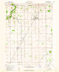
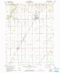
Editions of this 1960 Weston Map
3 editions found
Other maps of this area

1901 · Bowling Green
USGS Topo · 1:62,500

1903 · Bowling Green
USGS Topo · 1:62,500

1903 · Findlay
USGS Topo · 1:62,500

1909 · Mc Clure
USGS Topo · 1:62,500

1935 · Grand Rapids
USGS Topo · 1:24,000
1938 · Tontogany
USGS Topo · 1:31,680

1940 · Grand Rapids
USGS Topo · 1:31,680
1952 · Tontogany
USGS Topo · 1:24,000
1952 · Grand Rapids
USGS Topo · 1:24,000

1956 · Toledo
USGS Topo · 1:250,000