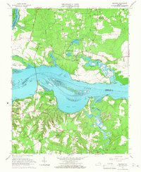
1965 Map of Westover
USGS Topo · Published 1967About this map
James River frontage and tidal flats define this landscape where the boundaries of Chesterfield, Charles City, and Prince George counties meet. The river serves as the central artery for several landings and points, including Harrisons Landing and Jordan Point, which connect the agrarian interiors to the water. The northern banks are marked by the presence of Westover and Berkeley, reflecting the deep colonial and post-colonial settlement patterns of the Virginia Tidewater.
Find a feature on this map
55 named features on this map. Tap any name to fly to it.
Don’t see what you’re looking for? This feature index may not catch every label — zoom into the map to look around manually.
Map Details
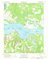
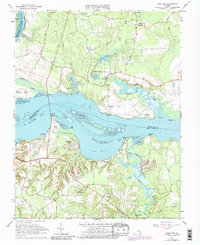
Editions of this 1965 Westover Map
Other maps of this area

1894 · Bermuda Hundred
USGS Topo · 1:62,500

1894 · Petersburg
USGS Topo · 1:62,500

1918 · Charles City
USGS Topo · 1:62,500

1919 · Disputanta
USGS Topo · 1:62,500

1938 · Dutch Gap
USGS Topo · 1:24,000

1943 · Savedge
USGS Topo · 1:31,680

1943 · Dutch Gap
USGS Topo · 1:31,680

1943 · Hopewell
USGS Topo · 1:31,680

1943 · Disputanta
USGS Topo · 1:31,680

1943 · Richmond
USGS Topo · 1:250,000