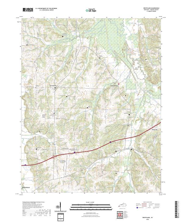
2022 Map of Westplains
USGS Topo · Published 2022About this map
Westplains and the surrounding reaches of Graves County are defined by the winding course of the West Fork Clarks River and the high ground of the Tennessee Valley Divide. This 2022 survey details a landscape where agricultural roots remain deep, evidenced by the high concentration of family cemeteries and rural congregations such as Old Spring Creek Church of Christ Cem and Spence Chapel United Methodist Church Cem. The map illustrates the transition from the municipal influence of Mayfield and the Mayfield-Graves County Airport in the southwest to the smaller, unincorporated communities of Clear Springs and Hicksville in the east. Local history is etched into the names of the numerous small waterways like Panther Cr and Trace Cr that drain the fertile Casey Bottoms.
Find a feature on this map
114 named features on this map. Tap any name to fly to it.
Don’t see what you’re looking for? This feature index may not catch every label — zoom into the map to look around manually.
Map Details
Editions of this 2022 Westplains Map
This is the sole edition of this map. No revisions or reprints were ever made.
Historical Maps of Kentucky Through Time
19 maps found

1936 Melber
Graves County, KY

1936 Westplains
Graves County, KY
1951 Melber
Graves County, KY
1951 Westplains
Graves County, KY

1952 Cuba
Graves County, KY

1952 Dublin
Graves County, KY
1952 Lynnville
Graves County, KY
1969 Dublin
Graves County, KY
1969 Westplains
Graves County, KY
1977 Cuba
Graves County, KY
1978 Lynnville
Graves County, KY
1982 Melber
Graves County, KY
1993 Melber
Graves County, KY
1993 Westplains
Graves County, KY
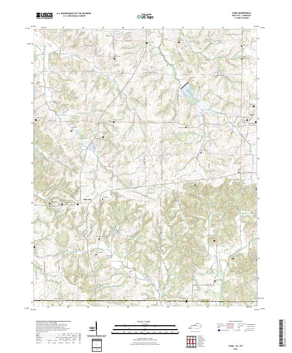
2022 Cuba
Graves County, KY
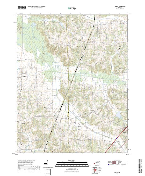
2022 Dublin
Graves County, KY
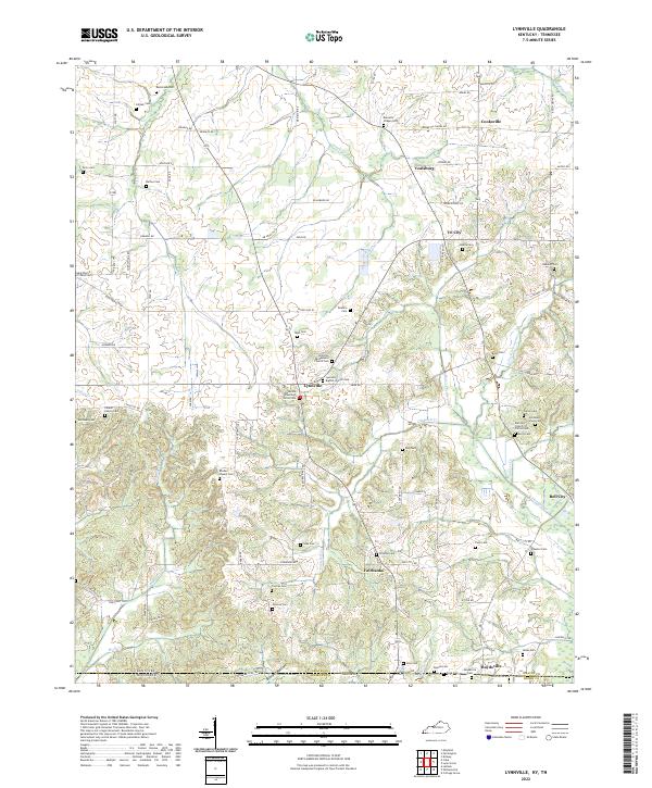
2022 Lynnville
Graves County, KY
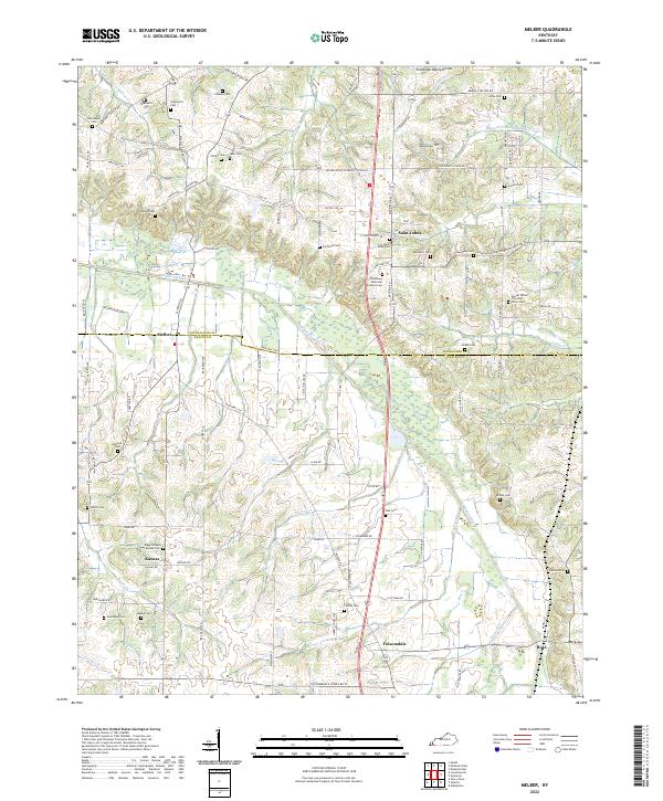
2022 Melber
Graves County, KY
2022 Westplains
Graves County, KY