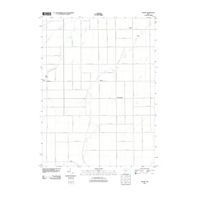
2010 Map of Wetsel
USGS Topo · Published 2010About this map
Hoaglin and Wetzel anchor this grid-oriented landscape in Van Wert County, where the agricultural geometry of the Midwest is punctuated by small rural settlements and meandering waterways. The drainage pattern is defined by northward-flowing streams like Dog Creek, Town Creek, and Big Run, which cut across a network of named county roads. Genealogists will find several burial grounds preserved among the fields, including Dotson Cemetery in the northeast and Ridge Cemetery to the south. The presence of the Tri-County Airport and the historic Defiance Trl reflects the long-standing importance of this corridor for regional transit. In the center of the sheet, Seamersville sits at a crossroads, representing the small-scale community hubs that have historically served the surrounding farming families throughout the twentieth century.
Find a feature on this map
63 named features on this map. Tap any name to fly to it.
Don’t see what you’re looking for? This feature index may not catch every label — zoom into the map to look around manually.
Map Details
Editions of this 2010 Wetsel Map
This is the sole edition of this map. No revisions or reprints were ever made.
Other maps of this area

1909 · Continental
USGS Topo · 1:62,500

1911 · Delphos
USGS Topo · 1:62,500

1914 · Van Wert
USGS Topo · 1:62,500

1914 · Paulding
USGS Topo · 1:62,500

1944 · Delphos
USGS Topo · 1:62,500

1944 · Van Wert
USGS Topo · 1:62,500

1944 · Paulding
USGS Topo · 1:62,500

1953 · Fort Wayne
USGS Topo · 1:250,000

1953 · Muncie
USGS Topo · 1:250,000

1956 · Muncie
USGS Topo · 1:250,000