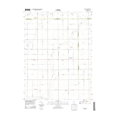
2013 Map of Wetsel
USGS Topo · Published 2013About this map
Agricultural life in Northwest Ohio centers on the small crossroad settlements of Wetzel and Seamersville at the start of the twenty-first century. This section of the Black Swamp region is characterized by a precise grid of rural roads and drainage ways like Dog Cr and Town Cr that manage the low-lying terrain for large-scale farming. For family historians, the map identifies several local burial grounds including Dotson Cem in the northeast and Ridge Cem to the south. The presence of Cooper Grain Farms near the center of the sheet reflects the enduring importance of grain production and transport to the local economy. State Route Oh-637 and Us-224 provide the primary connections through this landscape, which spans the borders of Paulding, Van Wert, and Putnam counties.
Find a feature on this map
109 named features on this map. Tap any name to fly to it.
Don’t see what you’re looking for? This feature index may not catch every label — zoom into the map to look around manually.
Map Details
Editions of this 2013 Wetsel Map
This is the sole edition of this map. No revisions or reprints were ever made.
Other maps of this area

1909 · Continental
USGS Topo · 1:62,500

1911 · Delphos
USGS Topo · 1:62,500

1914 · Van Wert
USGS Topo · 1:62,500

1914 · Paulding
USGS Topo · 1:62,500

1944 · Delphos
USGS Topo · 1:62,500

1944 · Van Wert
USGS Topo · 1:62,500

1944 · Paulding
USGS Topo · 1:62,500

1953 · Fort Wayne
USGS Topo · 1:250,000

1953 · Muncie
USGS Topo · 1:250,000

1956 · Muncie
USGS Topo · 1:250,000