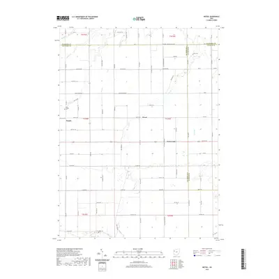
2019 Map of Wetsel
USGS Topo · Published 2019About this map
Wetzel and Hoaglin anchor this rural landscape in Northwest Ohio, situated along the borders of Paulding Co, Van Wert Co, and Putnam Co. The area is defined by a dense grid of township roads and agricultural sections, following the historic Public Land Survey System layout. Waterways such as Hoaglin Cr, Dog Cr, and Big Run cut through the terrain, illustrating the drainage patterns of the Great Black Swamp region. Genealogists will find significant value in the location of several small burial grounds, including Ridge Cem, Dotson Cem, and the Duncard Cem near Hoaglin. Further south, the map identifies the small community of Seamersville along US Rte 224, showing the late-20th-century development of the local transportation network and the persistence of small crossroad settlements.
Find a feature on this map
71 named features on this map. Tap any name to fly to it.
Don’t see what you’re looking for? This feature index may not catch every label — zoom into the map to look around manually.
Map Details
Editions of this 2019 Wetsel Map
This is the sole edition of this map. No revisions or reprints were ever made.
Other maps of this area

1909 · Continental
USGS Topo · 1:62,500

1911 · Delphos
USGS Topo · 1:62,500

1914 · Van Wert
USGS Topo · 1:62,500

1914 · Paulding
USGS Topo · 1:62,500

1944 · Delphos
USGS Topo · 1:62,500

1944 · Van Wert
USGS Topo · 1:62,500

1944 · Paulding
USGS Topo · 1:62,500

1953 · Fort Wayne
USGS Topo · 1:250,000

1953 · Muncie
USGS Topo · 1:250,000

1956 · Muncie
USGS Topo · 1:250,000