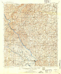
1901 Map of Wetumpka
USGS Topo · Published 1901About this map
Wetumpka serves as the focal point for this survey of central Alabama, situated at the confluence of the Alabama River and the Tallapoosa River. The landscape is dominated by the winding course of the Coosa River, which acts as a primary geographic artery through Coosa Co. and Elmore Co.. The transit network of the era is remarkably detailed, showing river crossings like Higgins Ferry and Smiths Ferry before modern bridging changed the riparian character of the region.
Find a feature on this map
88 named features on this map. Tap any name to fly to it.
Don’t see what you’re looking for? This feature index may not catch every label — zoom into the map to look around manually.
Map Details
Editions of this 1901 Wetumpka Map
This is the sole edition of this map. No revisions or reprints were ever made.
Other maps of this area

1901 · Wetumpka
USGS Topo · 1:125,000

1903 · Wetumpka
USGS Topo · 1:125,000

1906 · Dadeville
USGS Topo · 1:125,000
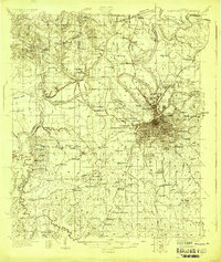
1927 · Montgomery
USGS Topo · 1:48,000
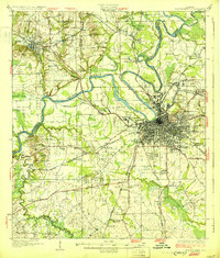
1930 · Montgomery
USGS Topo · 1:62,500

1953 · Montgomery
USGS Topo · 1:250,000

1955 · Phenix City
USGS Topo · 1:250,000

1956 · Montgomery
USGS Topo · 1:250,000

1957 · Phenix City
USGS Topo · 1:250,000

1957 · Montgomery
USGS Topo · 1:250,000