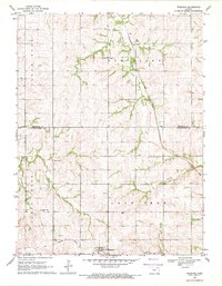
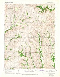
1969 Map of Wheaton
USGS Topo · Published 1971About this map
Wheaton sits at the southern edge of this late-1960s landscape, serving as a hub for the agricultural communities of Lone Tree and Cleveland townships. The topography is defined by the drainage basins of the Clear Fork of Jim Cr and the winding course of Irish Creek, which flows past the small settlement of Lillis. The map documents a rural environment in transition, noting the modern Union Pacific tracks alongside an Old Railroad Grade that hints at earlier transportation corridors through Pottawatomie County.
Find a feature on this map
19 named features on this map. Tap any name to fly to it.
Don’t see what you’re looking for? This feature index may not catch every label — zoom into the map to look around manually.
Map Details
Editions of this 1969 Wheaton Map
2 editions found
Other maps of this area

1889 · Seneca
USGS Topo · 1:125,000

1889 · Wamego
USGS Topo · 1:125,000

1894 · Seneca
USGS Topo · 1:125,000

1894 · Wamego
USGS Topo · 1:125,000

1955 · Manhattan
USGS Topo · 1:250,000

1956 · Manhattan
USGS Topo · 1:250,000

1957 · Manhattan
USGS Topo · 1:250,000
1964 · Westmoreland
USGS Topo · 1:24,000
1964 · Onaga
USGS Topo · 1:24,000
1964 · Westmoreland NE
USGS Topo · 1:24,000