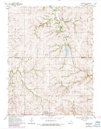
1969 Map of Wheaton
USGS Topo · Published 1983About this map
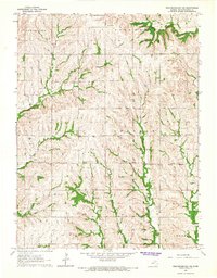
Wheaton serves as a southern anchor for this section of the Kansas prairie, situated along the Union Pacific line near the boundary of Lone Tree. The landscape is defined by the winding drainages of Irish Creek and its Clear Fork branch, which carve deep valleys through the upland terrain. These watercourses historically influenced the placement of early infrastructure, as seen in the route of the Old Railroad Grade that cuts across the southern portion of the map.
Find a feature on this map
19 named features on this map. Tap any name to fly to it.
Don’t see what you’re looking for? This feature index may not catch every label — zoom into the map to look around manually.
Map Details
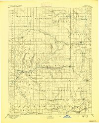
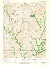
Editions of this 1969 Wheaton Map
2 editions found

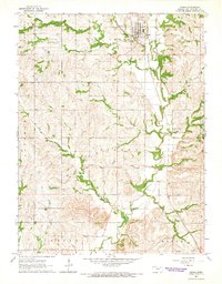
Other maps of this area

1889 · Seneca
USGS Topo · 1:125,000

1889 · Wamego
USGS Topo · 1:125,000
1894 · Seneca
USGS Topo · 1:125,000

1894 · Wamego
USGS Topo · 1:125,000

1955 · Manhattan
USGS Topo · 1:250,000

1956 · Manhattan
USGS Topo · 1:250,000

1957 · Manhattan
USGS Topo · 1:250,000
1964 · Westmoreland
USGS Topo · 1:24,000
1964 · Onaga
USGS Topo · 1:24,000
1964 · Westmoreland NE
USGS Topo · 1:24,000