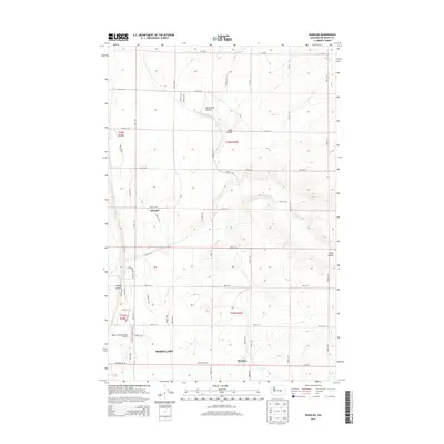
2014 Map of Wheeler
USGS Topo · Published 2014About this map
Wheeler and Mitchell sit within a high plateau landscape defined by deep natural depressions and massive irrigation infrastructure east of Moses Lake. The terrain is dominated by the prehistoric drainage patterns of Black Rock Coulee, Sand Coulee, and Rocky Coulee, which contrast with the engineered precision of the East Low Canal. This waterway and the Sand Coulee Syphon highlight the mid-20th-century transformation of the Columbia Basin into a productive agricultural region. While the western edge is influenced by the Moses Lake Municipal Airport, the remainder of the map reveals a systematic grid of section roads like Road 7 NE and Bacon Ln NE, illustrating the organized land use and settlement patterns typical of this part of Grant County.
Find a feature on this map
49 named features on this map. Tap any name to fly to it.
Don’t see what you’re looking for? This feature index may not catch every label — zoom into the map to look around manually.
Map Details
Editions of this 2014 Wheeler Map
This is the sole edition of this map. No revisions or reprints were ever made.
Other maps of this area

1912 · Moses Lake
USGS Topo · 1:62,500

1923 · Wheeler
USGS Topo · 1:62,500

1925 · Wheeler
USGS Topo · 1:62,500

1953 · Ritzville
USGS Topo · 1:250,000

1956 · Wheeler
USGS Topo · 1:24,000

1956 · Moses Lake South
USGS Topo · 1:24,000

1956 · Moses Lake North
USGS Topo · 1:24,000

1956 · Gloyd
USGS Topo · 1:24,000

1956 · Wilson Creek SW
USGS Topo · 1:24,000
1956 · Bassett Junction
USGS Topo · 1:24,000