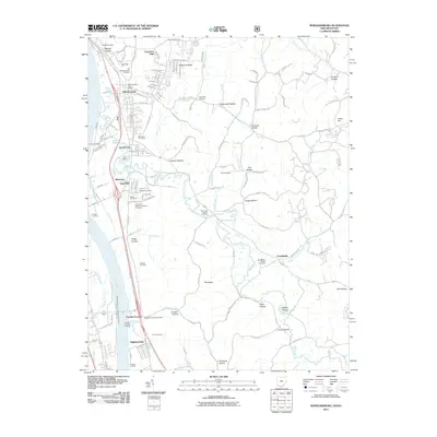
2011 Map of Wheelersburg
USGS Topo · Published 2011About this map
Wheelersburg serves as a primary hub of activity along the Ohio River in this 2011 survey, showing a well-established riverfront community connected by Ohio River Rd and the CSX Transportation rail line. The landscape is defined by the winding course of Pine Creek and a dense network of hollows such as Germany Hollow and Possum Hollow, reflecting the region's characteristic Appalachian foothills topography. Genealogists will find a wealth of data across numerous burial sites, from large modern locations like Memorial Burial Park and Floral Hills Memory Gardens Cemetery to older, family or community-named plots such as Rawley Cemetery and the Old Dutch Cemetery. To the south, industrial and maritime heritage is visible at Franklin Furnace, where the Franklin Furnace Post Office and Franklin Furnace Landing sit near the mouth of Chandlers Run, marking a transition from residential developments like Garden City and Crestview Park to more rural stretches.
Find a feature on this map
112 named features on this map. Tap any name to fly to it.
Don’t see what you’re looking for? This feature index may not catch every label — zoom into the map to look around manually.
Map Details
Editions of this 2011 Wheelersburg Map
This is the sole edition of this map. No revisions or reprints were ever made.
Other maps of this area

1898 · Ironton
USGS Topo · 1:62,500

1900 · Ironton
USGS Topo · 1:62,500

1911 · Sciotoville
USGS Topo · 1:62,500

1912 · Oak Hill
USGS Topo · 1:62,500

1913 · Sciotoville
USGS Topo · 1:62,500

1926 · Greenup
USGS Topo · 1:48,000

1930 · Greenup
USGS Topo · 1:62,500
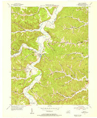
1953 · Load
USGS Topo · 1:24,000

1953 · Greenup
USGS Topo · 1:24,000
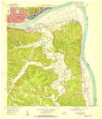
1953 · Portsmouth
USGS Topo · 1:24,000