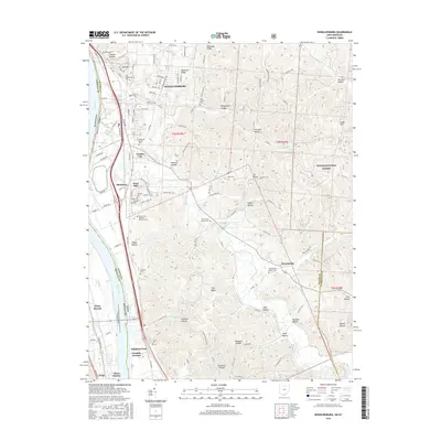
2016 Map of Wheelersburg
USGS Topo · Published 2016About this map
Wheelersburg and its surrounding communities occupy the fertile terraces along the Ohio River and the meandering path of Pine Creek. This landscape is defined by its deep cultural roots, evident in the high density of burial grounds such as Old Wheelersburg Cem, Memorial Burial Park, and Floral Hills Memory Gardens Cem. The transition from the river valley to the wooded uplands is marked by the rugged reaches of the Wayne National Forest and numerous named drainages like Lick Run and Sugar Camp Cr. The settlement pattern reflects long-standing industrial and transport hubs, from Franklin Furnace in the south to the residential clusters of Garden City and Sand Hill. Researchers can trace the alignment of Ohio River RD and discover smaller locales like Allentown and Powellsville that anchor the rural interior.
Find a feature on this map
133 named features on this map. Tap any name to fly to it.
Don’t see what you’re looking for? This feature index may not catch every label — zoom into the map to look around manually.
Map Details
Editions of this 2016 Wheelersburg Map
This is the sole edition of this map. No revisions or reprints were ever made.
Other maps of this area

1898 · Ironton
USGS Topo · 1:62,500

1900 · Ironton
USGS Topo · 1:62,500

1911 · Sciotoville
USGS Topo · 1:62,500

1912 · Oak Hill
USGS Topo · 1:62,500

1913 · Sciotoville
USGS Topo · 1:62,500

1926 · Greenup
USGS Topo · 1:48,000

1930 · Greenup
USGS Topo · 1:62,500
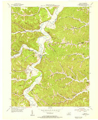
1953 · Load
USGS Topo · 1:24,000

1953 · Greenup
USGS Topo · 1:24,000
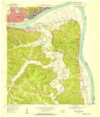
1953 · Portsmouth
USGS Topo · 1:24,000