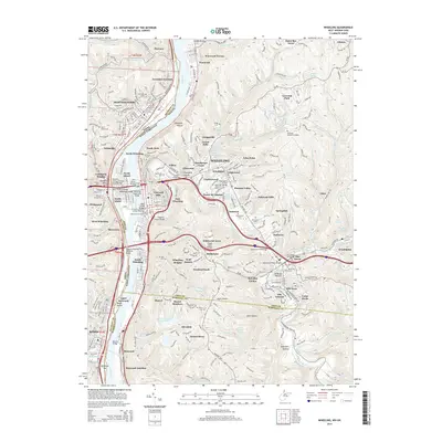
2014 Map of Wheeling
USGS Topo · Published 2014About this map
Wheeling dominates the landscape along the Ohio River, where a complex network of infrastructure bridges the waterway and connects various neighborhoods and islands. The city’s geography is defined by its industrial and residential layers, from North Wheeling and East Wheeling to the higher elevations of Mozart Meadows and Winfred Knoll. Notable landmarks include the Wheeling Suspension Bridge and Mount de Chantal, alongside established institutions like Wheeling Jesuit Univ and the West Virginia Northern Community Coll.
Find a feature on this map
169 named features on this map. Tap any name to fly to it.
Don’t see what you’re looking for? This feature index may not catch every label — zoom into the map to look around manually.
Map Details
Editions of this 2014 Wheeling Map
This is the sole edition of this map. No revisions or reprints were ever made.
Other maps of this area

1902 · Wheeling
USGS Topo · 1:62,500

1904 · Cameron
USGS Topo · 1:62,500

1905 · Clarington
USGS Topo · 1:62,500

1905 · St. Clairsville
USGS Topo · 1:62,500

1935 · Cameron
USGS Topo · 1:62,500

1935 · Clarington
USGS Topo · 1:62,500

1935 · Wheeling
USGS Topo · 1:62,500

1940 · Clarington
USGS Topo · 1:62,500

1942 · Cameron
USGS Topo · 1:62,500

1942 · Wheeling
USGS Topo · 1:62,500