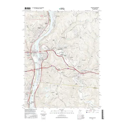
2016 Map of Wheeling
USGS Topo · Published 2016About this map
The Ohio River dominates this mid-2010s survey, serving as the state boundary between West Virginia and Ohio while carving a path through the steep northern panhandle terrain. This industrial and urban corridor is anchored by Wheeling and Martins Ferry, where a dense network of spans including the Wheeling Suspension Bridge and the Fort Henry Bridge connect the riverbanks. The map documents the intricate settlement patterns of the region, from the residential hills of Bethlehem and Mozart to the established neighborhoods of Elm Grove and Warwood.
Find a feature on this map
107 named features on this map. Tap any name to fly to it.
Don’t see what you’re looking for? This feature index may not catch every label — zoom into the map to look around manually.
Map Details
Editions of this 2016 Wheeling Map
This is the sole edition of this map. No revisions or reprints were ever made.
Other maps of this area

1902 · Wheeling
USGS Topo · 1:62,500

1904 · Cameron
USGS Topo · 1:62,500

1905 · Clarington
USGS Topo · 1:62,500

1905 · St. Clairsville
USGS Topo · 1:62,500

1935 · Cameron
USGS Topo · 1:62,500

1935 · Clarington
USGS Topo · 1:62,500

1935 · Wheeling
USGS Topo · 1:62,500

1940 · Clarington
USGS Topo · 1:62,500

1942 · Cameron
USGS Topo · 1:62,500

1942 · Wheeling
USGS Topo · 1:62,500