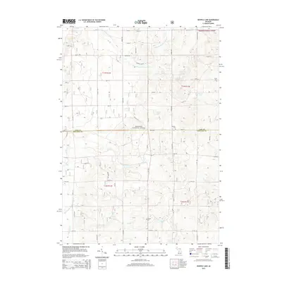
2014 Map of Whipple Lake
USGS Topo · Published 2014About this map
The Manistee National Forest defines the character of this section of Lake and Newaygo counties, where a complex network of waterways feeds into the Lake Michigan watershed. The northern half of the area is drained by the Middle Br Pere Marquette River, while the southern reaches are marked by the Little S Br Pere Marquette River and the winding course of Whipple Cr. These waters, along with features like Marquette Spring, highlight the region's importance for timber and recreation.
Find a feature on this map
41 named features on this map. Tap any name to fly to it.
Don’t see what you’re looking for? This feature index may not catch every label — zoom into the map to look around manually.
Map Details
Editions of this 2014 Whipple Lake Map
This is the sole edition of this map. No revisions or reprints were ever made.
Other maps of this area

1931 · Chase NE
USGS Topo · 1:31,680

1931 · Baldwin NE
USGS Topo · 1:31,680

1932 · Chase NW
USGS Topo · 1:31,680

1954 · Midland
USGS Topo · 1:250,000

1958 · Midland
USGS Topo · 1:250,000

1958 · Woodville
USGS Topo · 1:62,500

1959 · Midland
USGS Topo · 1:250,000

1959 · Reed City
USGS Topo · 1:62,500

1959 · Baldwin
USGS Topo · 1:62,500

1959 · White Cloud
USGS Topo · 1:62,500