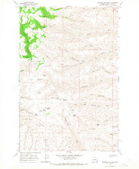
1966 Map of Whiskey Dick Mtn.
USGS Topo · Published 1968About this map
Whiskey Dick Mountain dominates this portion of Kittitas County, serving as a high-altitude anchor for a network of springs and drainages in the mid-1960s. The landscape is defined by the complex convergence of several major creek systems, including Whiskey Dick Creek, Quilomene Creek, and Skookumchuck Creek. This area shows a pattern of remote habitation and navigational aids, notably the presence of an Airway Beacon and small settlements or camps like The Pines and Cribb.
Find a feature on this map
42 named features on this map. Tap any name to fly to it.
Don’t see what you’re looking for? This feature index may not catch every label — zoom into the map to look around manually.
Map Details
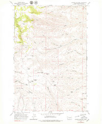
Editions of this 1966 Whiskey Dick Mtn. Map
2 editions found
Other maps of this area

1920 · Colockum Pass
USGS Topo · 1:125,000

1922 · Colockum Pass
USGS Topo · 1:125,000

1938 · Badger Pocket
USGS Topo · 1:48,000

1939 · Boylston
USGS Topo · 1:48,000

1943 · Boylston
USGS Topo · 1:62,500

1943 · Badger Pocket
USGS Topo · 1:62,500

1950 · Yakima
USGS Topo · 1:250,000

1953 · Ginkgo
USGS Topo · 1:24,000
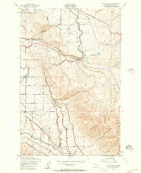
1953 · East Kittitas
USGS Topo · 1:24,000
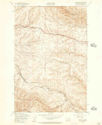
1953 · Boylston
USGS Topo · 1:24,000