
1899 Map of Whistle Creek
USGS Topo · Published 1899About this map
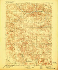
The Niobrara River carves a path through the northern reaches of this High Plains landscape, a region defined by its critical water sources and early cattle ranching operations. In this late nineteenth-century environment, isolated outposts like Agate and the 33 Ranch served as vital hubs for the surrounding open range. The map reveals a network of springs and intermittent watercourses, including Coyote Springs and Wind Springs, which were essential for both livestock and travelers navigating the prehistoric and pioneer pathways.
Find a feature on this map
19 named features on this map. Tap any name to fly to it.
Don’t see what you’re looking for? This feature index may not catch every label — zoom into the map to look around manually.
Map Details
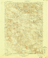
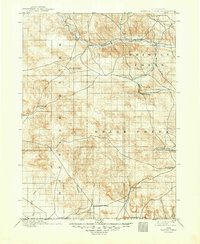
Editions of this 1899 Whistle Creek Map
4 editions found
Other maps of this area

1896 · Patrick
USGS Topo · 1:125,000

1898 · Scotts Bluff
USGS Topo · 1:125,000

1898 · Camp Clarke
USGS Topo · 1:125,000

1899 · Goshen Hole
USGS Topo · 1:125,000

1951 · Marsland
USGS Topo · 1:62,500

1951 · Kilpatrick Lake
USGS Topo · 1:62,500

1954 · Scottsbluff
USGS Topo · 1:250,000

1954 · Torrington
USGS Topo · 1:250,000

1954 · Cheyenne
USGS Topo · 1:250,000

1955 · Alliance
USGS Topo · 1:250,000