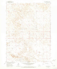
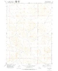
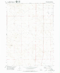
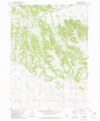
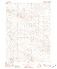
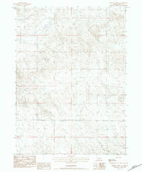
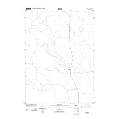
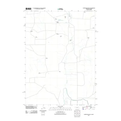
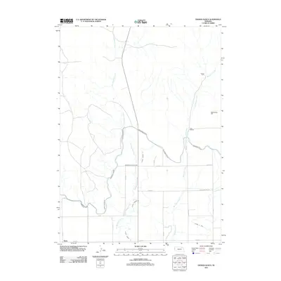
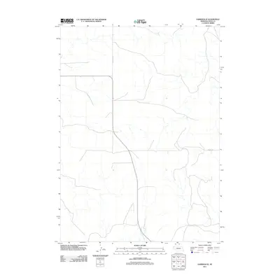
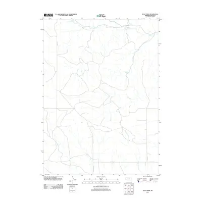
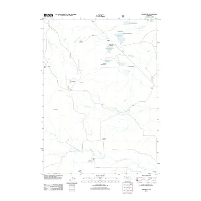
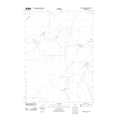
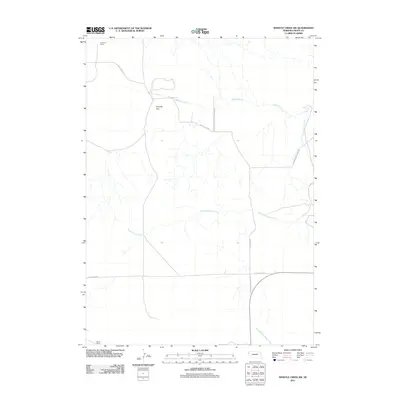
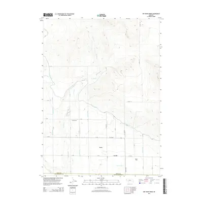
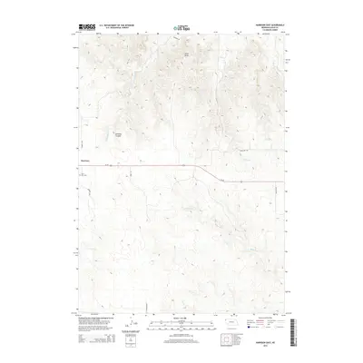
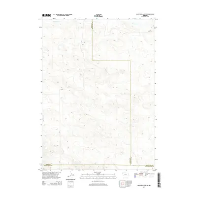
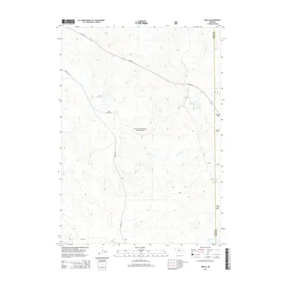
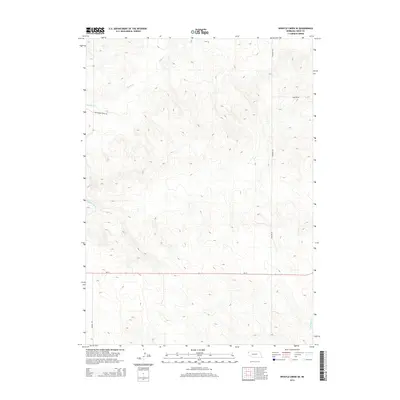
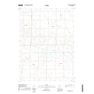
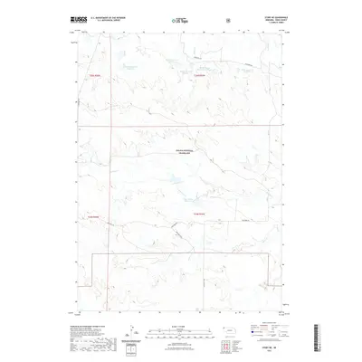
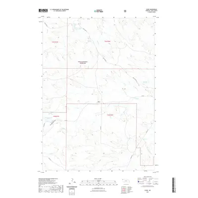
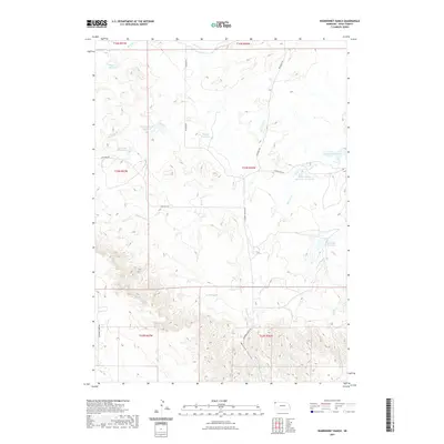
1899 Map of Whistle Creek
USGS Topo · Published 1940About this map
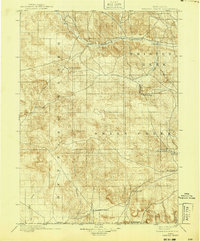
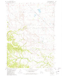
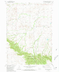
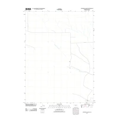
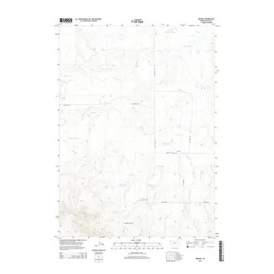
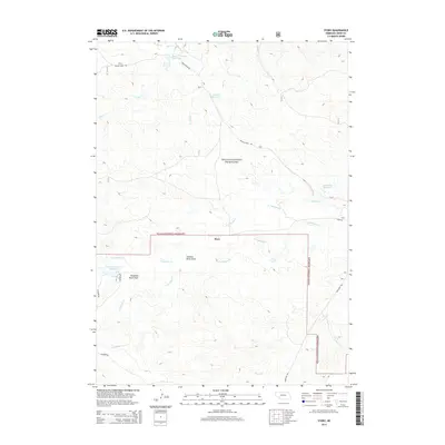
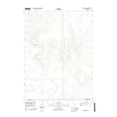
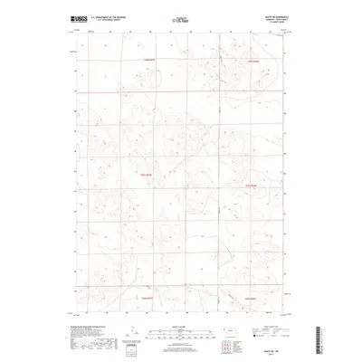
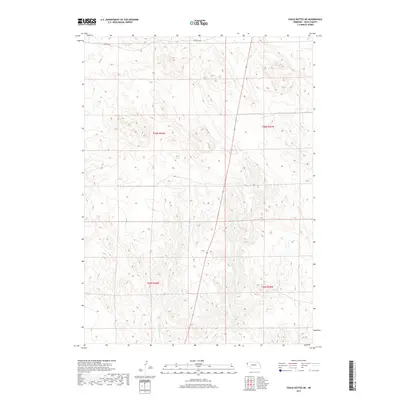
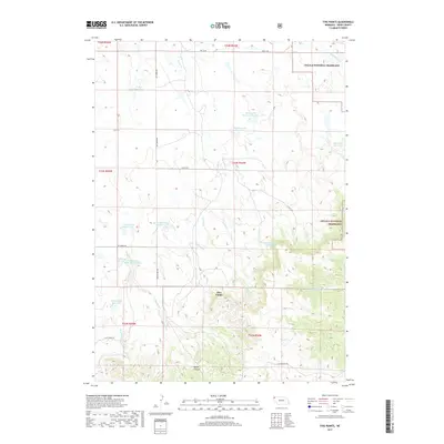
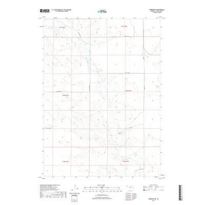
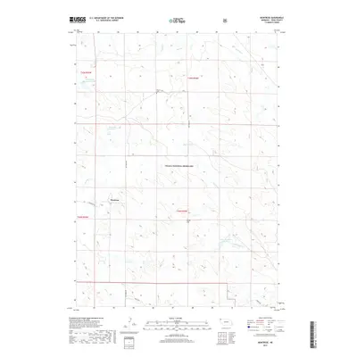
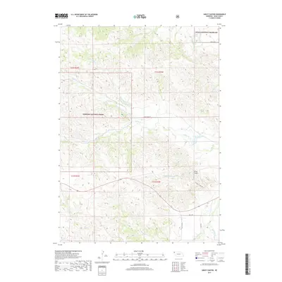
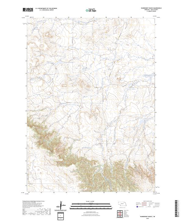
Agate serves as a lone anchor point in this High Plains landscape, situated along the Niorrara River at the close of the nineteenth century. This 1895 survey captures a transitional era in Sioux County, where the open range was still defined by large landholdings and strategic water sources rather than dense township grids. Isolated homesteads like Corbins Ranch and the 33 Ranch mark the early settlement patterns of western Nebraska, positioned near seasonal drainages and vital water holes.
Find a feature on this map
20 named features on this map. Tap any name to fly to it.
Don’t see what you’re looking for? This feature index may not catch every label — zoom into the map to look around manually.
Map Details
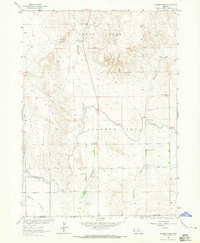
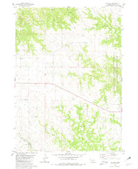
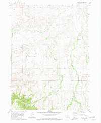
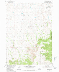
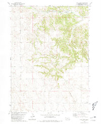
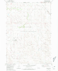
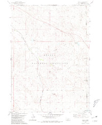
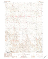
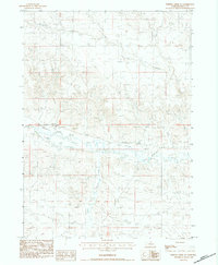
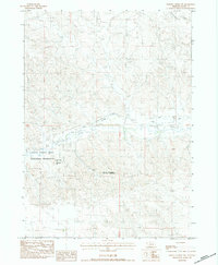
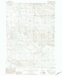
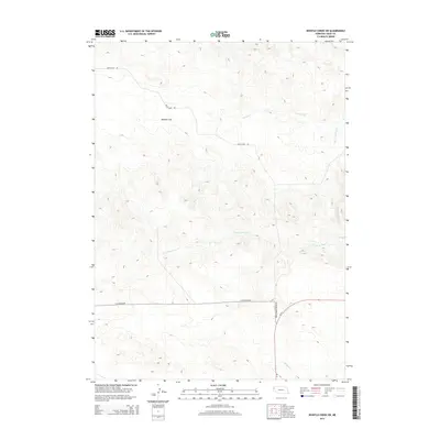
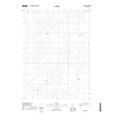
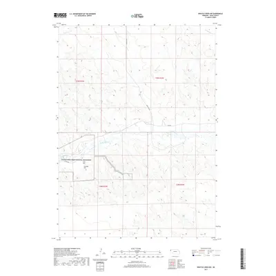
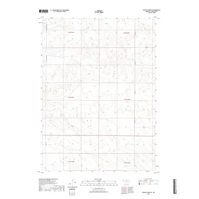
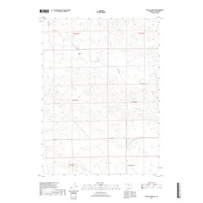
Editions of this 1899 Whistle Creek Map
4 editions found
Historical Maps of Sheep Creek Precinct Through Time
174 maps found
1899 Whistle Creek
Sioux County, NE
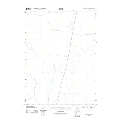
1963 Chalk Buttes
Sioux County, NE

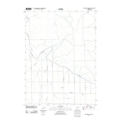
1963 Dry Sheep Creek
Sioux County, NE
1963 Erdman Ranch
Sioux County, NE
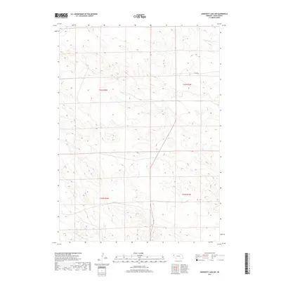
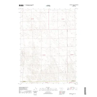
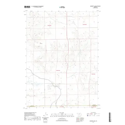
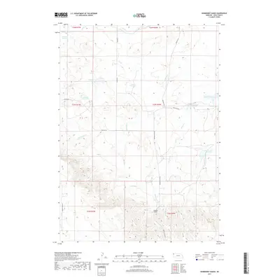
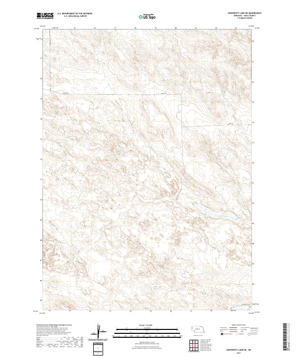
1963 University Lake
Sioux County, NE

1978 Harrison West
Sioux County, NE
1979 Agate NW
Sioux County, NE

1979 Agate
Sioux County, NE
1979 Agate SW
Sioux County, NE
1979 Harrison East
Sioux County, NE
1979 Harrison SE
Sioux County, NE
1979 Harrison SW
Sioux County, NE
1979 Mount Edna
Sioux County, NE
1980 Andrews
Sioux County, NE
1980 Bodarc
Sioux County, NE
1980 Five Points
Sioux County, NE
1980 Glen
Sioux County, NE
1980 Kyle Creek
Sioux County, NE
1980 Montrose
Sioux County, NE
1980 Orella
Sioux County, NE
1980 Roundtop
Sioux County, NE
1980 Smiley Canyon
Sioux County, NE
1980 Story NE
Sioux County, NE
1980 Story
Sioux County, NE
1980 Warbonnet Ranch
Sioux County, NE
1983 Chalk Buttes NE
Sioux County, NE
1983 Kilpatrick Lake SW
Sioux County, NE
1983 University Lake NE
Sioux County, NE
1983 University Lake NW
Sioux County, NE
1983 University Lake SE
Sioux County, NE
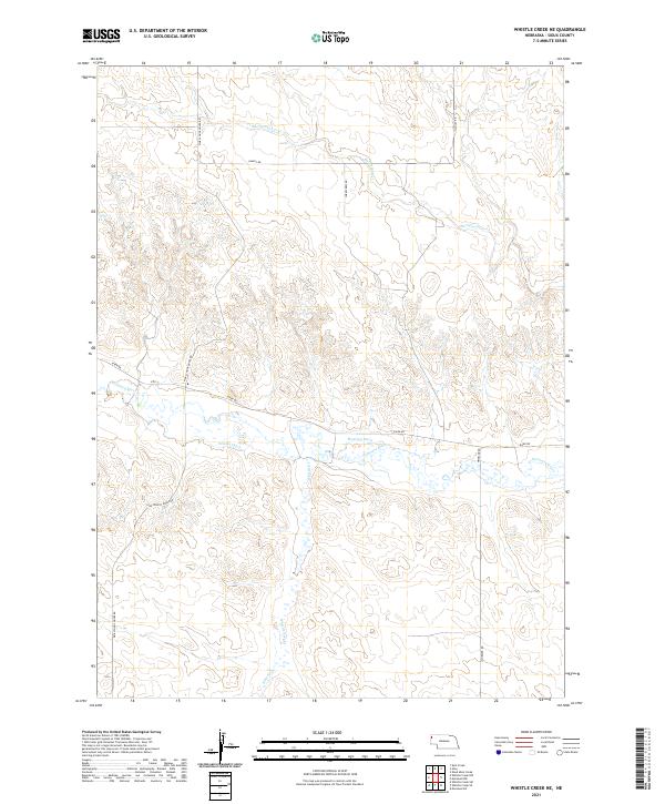
1983 Whistle Creek NE
Sioux County, NE
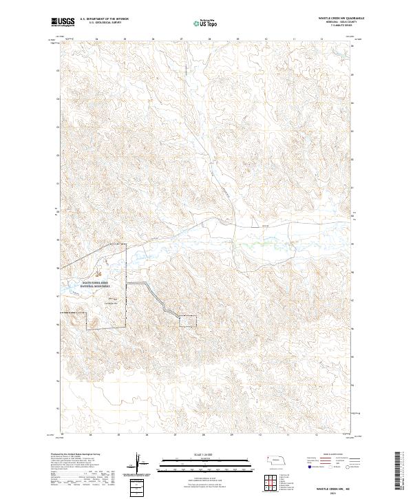
1983 Whistle Creek NW
Sioux County, NE
1983 Whistle Creek SE
Sioux County, NE
1983 Whistle Creek SW
Sioux County, NE
1990 Carpenter Ranch
Sioux County, NE
2011 Agate NW
Sioux County, NE
2011 Agate
Sioux County, NE
2011 Agate SW
Sioux County, NE
2011 Andrews
Sioux County, NE
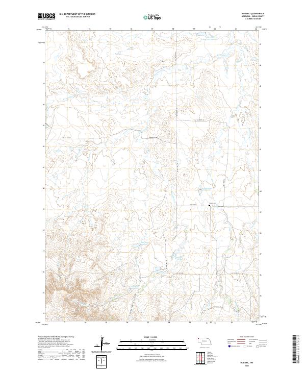
2011 Bodarc
Sioux County, NE
2011 Carpenter Ranch
Sioux County, NE
2011 Chalk Buttes NE
Sioux County, NE
2011 Chalk Buttes
Sioux County, NE
2011 Dry Sheep Creek
Sioux County, NE
2011 Erdman Ranch
Sioux County, NE
2011 Five Points
Sioux County, NE
2011 Glen
Sioux County, NE
2011 Harrison East
Sioux County, NE
2011 Harrison SE
Sioux County, NE
2011 Harrison SW
Sioux County, NE
2011 Harrison West
Sioux County, NE
2011 Kilpatrick Lake SW
Sioux County, NE
2011 Kyle Creek
Sioux County, NE
2011 Montrose
Sioux County, NE
2011 Mount Edna
Sioux County, NE
2011 Orella
Sioux County, NE
2011 Roundtop
Sioux County, NE
2011 Smiley Canyon
Sioux County, NE
2011 Story NE
Sioux County, NE
2011 Story
Sioux County, NE
2011 University Lake NE
Sioux County, NE
2011 University Lake NW
Sioux County, NE
2011 University Lake SE
Sioux County, NE
2011 University Lake
Sioux County, NE
2011 Warbonnet Ranch
Sioux County, NE
2011 Whistle Creek NE
Sioux County, NE
2011 Whistle Creek NW
Sioux County, NE
2011 Whistle Creek SE
Sioux County, NE
2011 Whistle Creek SW
Sioux County, NE

2014 Agate NW
Sioux County, NE
2014 Agate
Sioux County, NE
2014 Agate SW
Sioux County, NE
2014 Andrews
Sioux County, NE
2014 Bodarc
Sioux County, NE
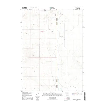
2014 Carpenter Ranch
Sioux County, NE
2014 Chalk Buttes NE
Sioux County, NE
2014 Chalk Buttes
Sioux County, NE
2014 Dry Sheep Creek
Sioux County, NE
2014 Erdman Ranch
Sioux County, NE
2014 Five Points
Sioux County, NE
2014 Glen
Sioux County, NE
2014 Harrison East
Sioux County, NE
2014 Harrison SE
Sioux County, NE
2014 Harrison SW
Sioux County, NE
2014 Harrison West
Sioux County, NE
2014 Kilpatrick Lake SW
Sioux County, NE
2014 Kyle Creek
Sioux County, NE
2014 Montrose
Sioux County, NE
2014 Mount Edna
Sioux County, NE
2014 Orella
Sioux County, NE
2014 Roundtop
Sioux County, NE
2014 Smiley Canyon
Sioux County, NE
2014 Story NE
Sioux County, NE
2014 Story
Sioux County, NE
2014 University Lake NE
Sioux County, NE
2014 University Lake NW
Sioux County, NE
2014 University Lake SE
Sioux County, NE
2014 University Lake
Sioux County, NE
2014 Warbonnet Ranch
Sioux County, NE
2014 Whistle Creek NE
Sioux County, NE
2014 Whistle Creek NW
Sioux County, NE
2014 Whistle Creek SE
Sioux County, NE
2014 Whistle Creek SW
Sioux County, NE
2017 Agate NW
Sioux County, NE
2017 Agate
Sioux County, NE
2017 Agate SW
Sioux County, NE
2017 Andrews
Sioux County, NE
2017 Bodarc
Sioux County, NE
2017 Carpenter Ranch
Sioux County, NE
2017 Chalk Buttes NE
Sioux County, NE
2017 Chalk Buttes
Sioux County, NE
2017 Dry Sheep Creek
Sioux County, NE
2017 Erdman Ranch
Sioux County, NE
2017 Five Points
Sioux County, NE
2017 Glen
Sioux County, NE
2017 Harrison East
Sioux County, NE
2017 Harrison SE
Sioux County, NE
2017 Harrison SW
Sioux County, NE
2017 Harrison West
Sioux County, NE
2017 Kilpatrick Lake SW
Sioux County, NE
2017 Kyle Creek
Sioux County, NE
2017 Montrose
Sioux County, NE
2017 Mount Edna
Sioux County, NE
2017 Orella
Sioux County, NE
2017 Roundtop
Sioux County, NE
2017 Smiley Canyon
Sioux County, NE
2017 Story NE
Sioux County, NE
2017 Story
Sioux County, NE
2017 University Lake NE
Sioux County, NE
2017 University Lake NW
Sioux County, NE
2017 University Lake SE
Sioux County, NE
2017 University Lake
Sioux County, NE
2017 Warbonnet Ranch
Sioux County, NE
2017 Whistle Creek NE
Sioux County, NE
2017 Whistle Creek NW
Sioux County, NE
2017 Whistle Creek SE
Sioux County, NE
2017 Whistle Creek SW
Sioux County, NE
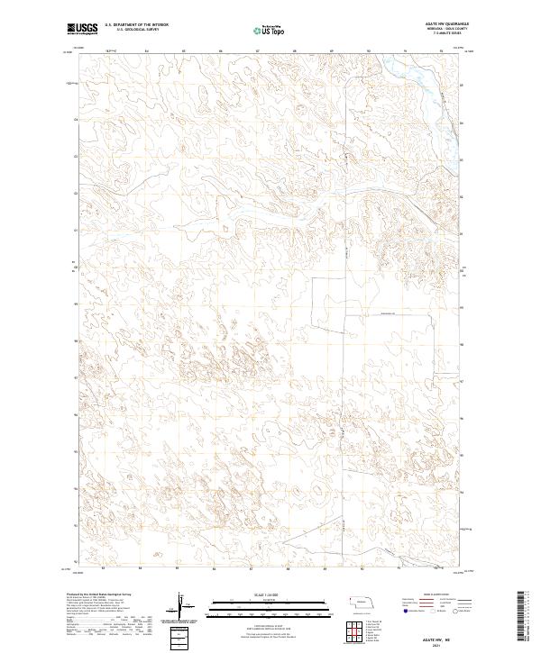
2021 Agate NW
Sioux County, NE
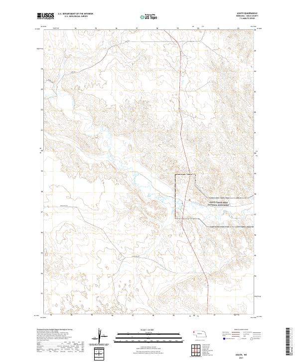
2021 Agate
Sioux County, NE
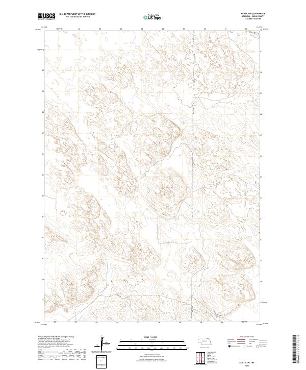
2021 Agate SW
Sioux County, NE
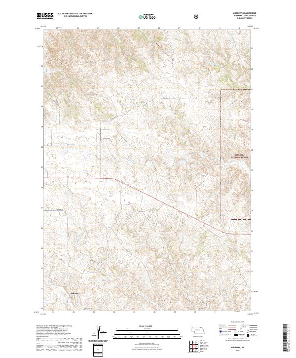
2021 Andrews
Sioux County, NE
2021 Bodarc
Sioux County, NE
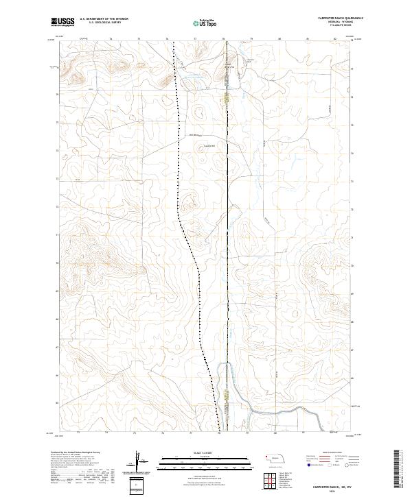
2021 Carpenter Ranch
Sioux County, NE
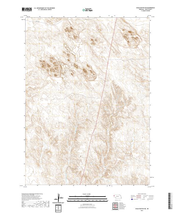
2021 Chalk Buttes NE
Sioux County, NE
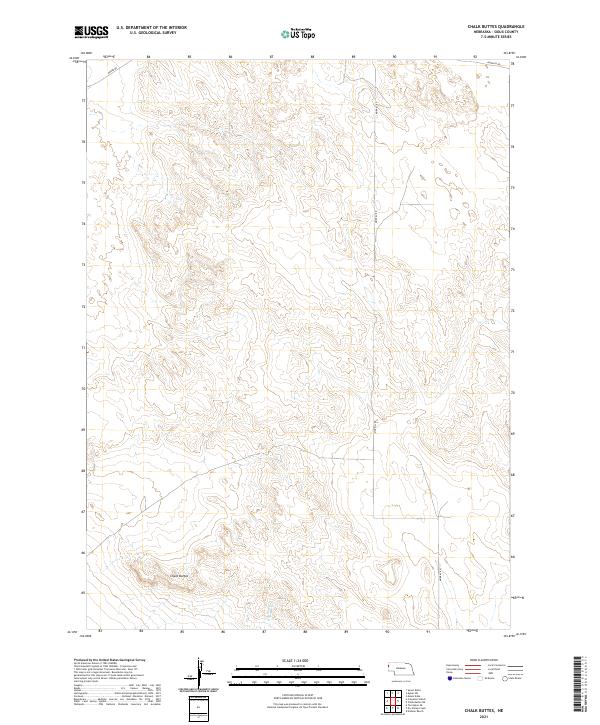
2021 Chalk Buttes
Sioux County, NE
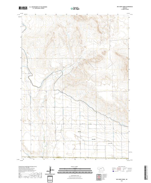
2021 Dry Sheep Creek
Sioux County, NE
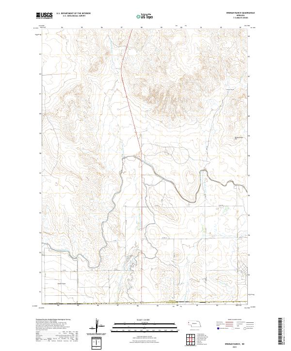
2021 Erdman Ranch
Sioux County, NE
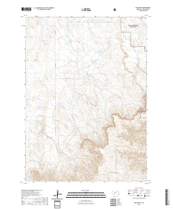
2021 Five Points
Sioux County, NE
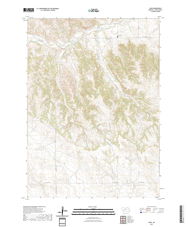
2021 Glen
Sioux County, NE
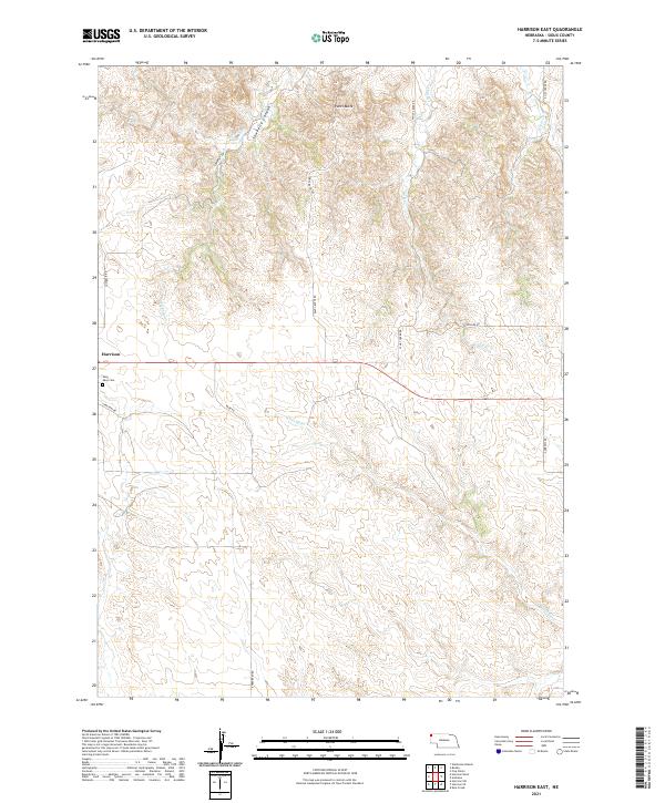
2021 Harrison East
Sioux County, NE
2021 Harrison SE
Sioux County, NE
2021 Harrison SW
Sioux County, NE
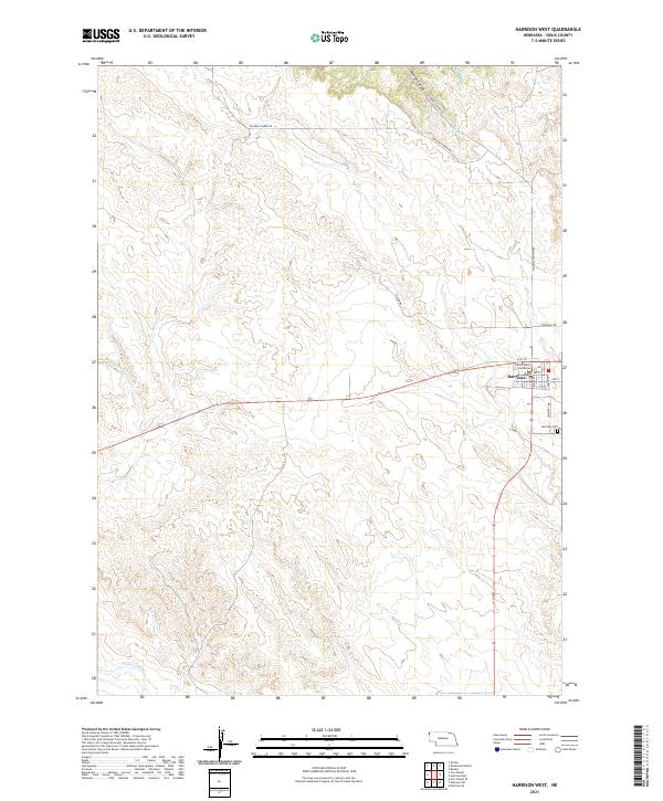
2021 Harrison West
Sioux County, NE
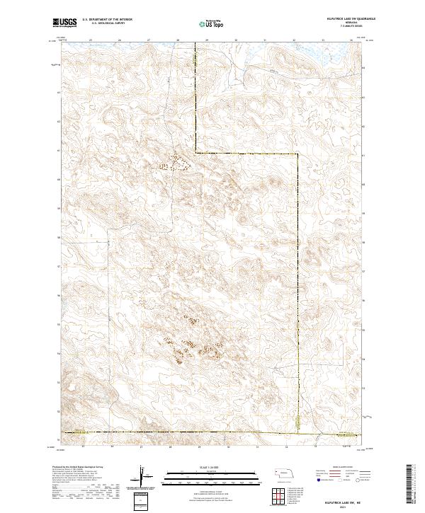
2021 Kilpatrick Lake SW
Sioux County, NE
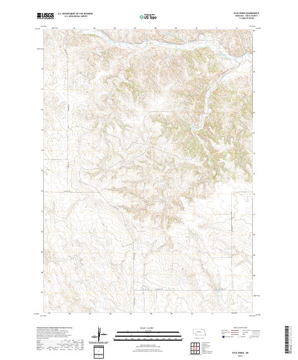
2021 Kyle Creek
Sioux County, NE
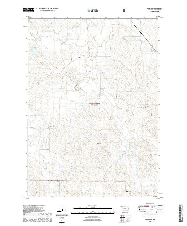
2021 Montrose
Sioux County, NE
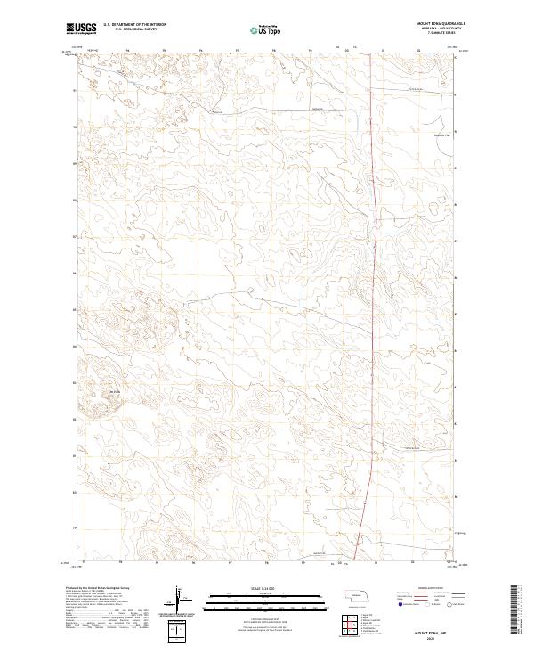
2021 Mount Edna
Sioux County, NE
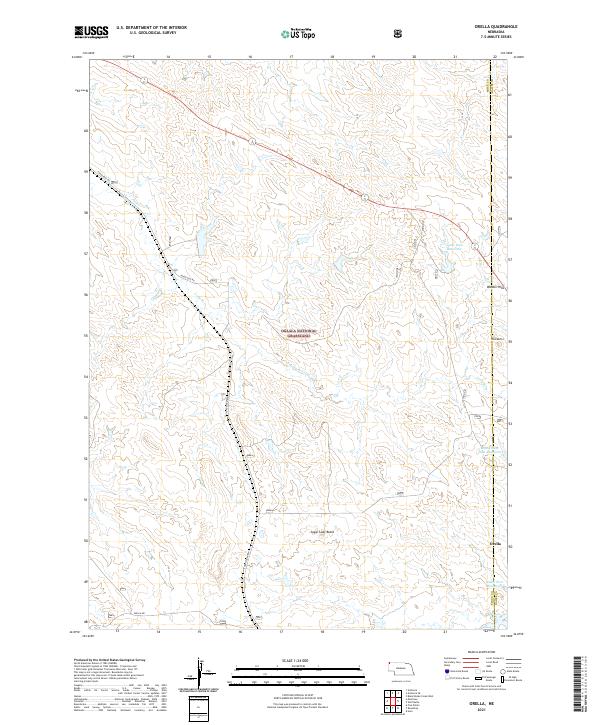
2021 Orella
Sioux County, NE
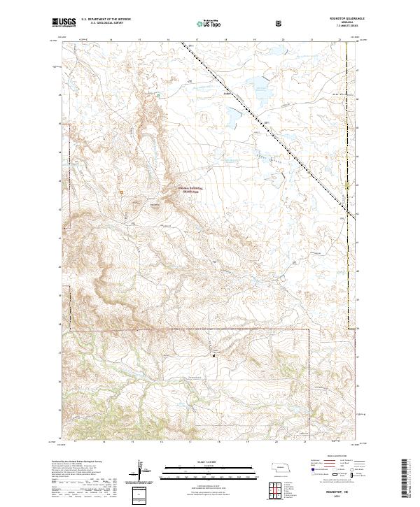
2021 Roundtop
Sioux County, NE
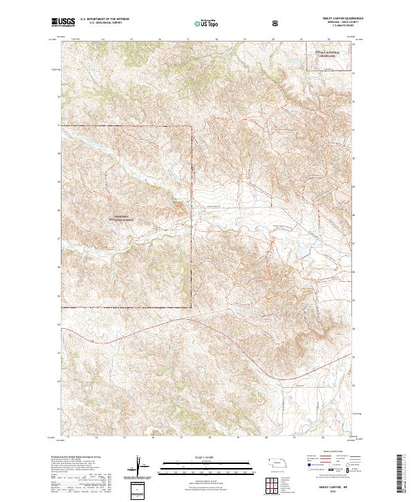
2021 Smiley Canyon
Sioux County, NE
2021 Story NE
Sioux County, NE
2021 Story
Sioux County, NE
2021 University Lake NE
Sioux County, NE
2021 University Lake NW
Sioux County, NE
2021 University Lake SE
Sioux County, NE
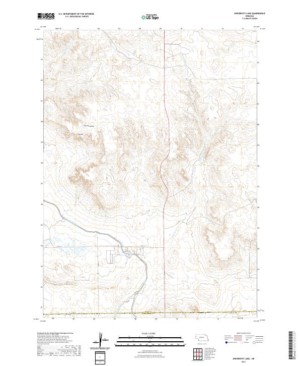
2021 University Lake
Sioux County, NE
2021 Warbonnet Ranch
Sioux County, NE
2021 Whistle Creek NE
Sioux County, NE
2021 Whistle Creek NW
Sioux County, NE
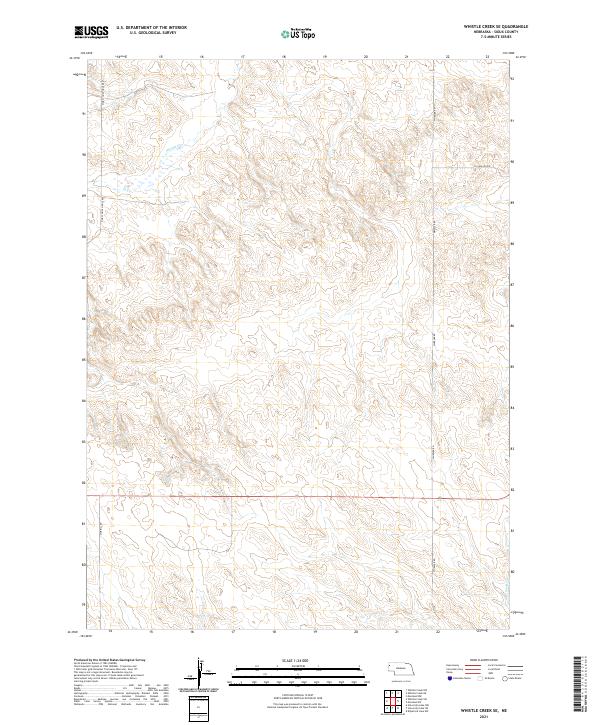
2021 Whistle Creek SE
Sioux County, NE
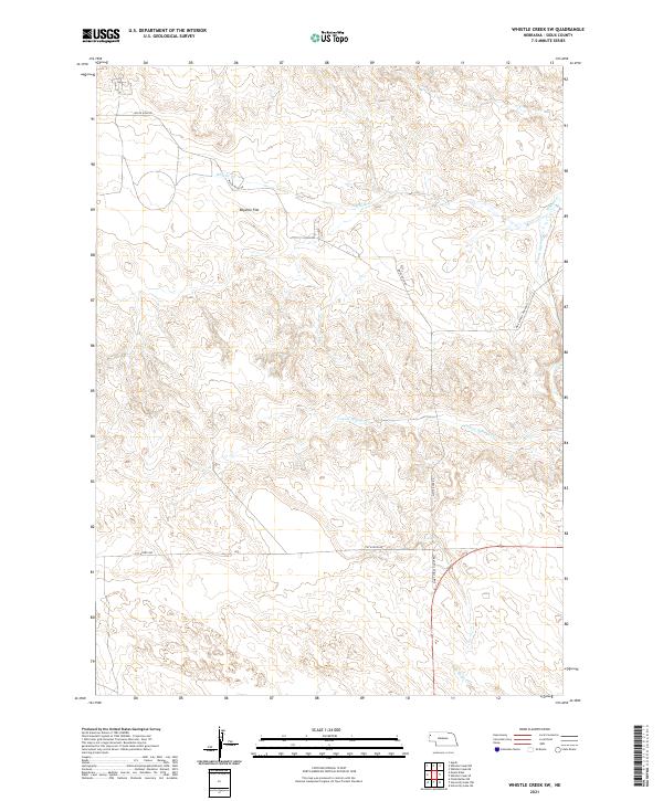
2021 Whistle Creek SW
Sioux County, NE
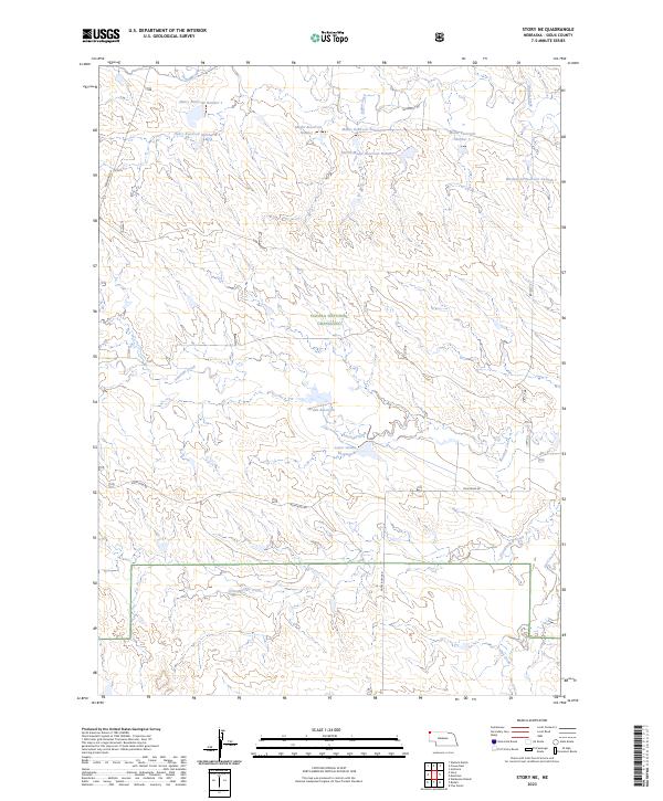
2023 Story NE
Sioux County, NE
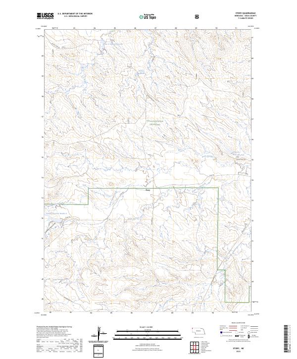
2023 Story
Sioux County, NE
2023 Warbonnet Ranch
Sioux County, NE
Featured Locations
- Bowen Precinct, NE
- Sheep Creek Precinct, NE
- Whistle Creek Precinct, NE
- Roach, Sheep Creek Precinct
- Agate, Whistle Creek Precinct