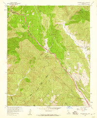
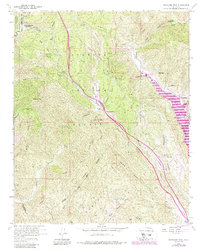
1958 Map of Whitaker Peak
USGS Topo · Published 1959About this map
Golden State Highway (Five Mile Grade) cuts a winding path through this corner of the Los Padres National Forest and Angeles National Forest. In the late 1950s, this corridor was a critical link across the mountain passes, defined by steep grades and significant elevation changes at Whitaker Summit and Violin Summit. The map shows a landscape of deep canyons and seasonal water sources, where small outposts like Paradise Ranch and Martins provided rare points of human habitation alongside early infrastructure like the Pipeline and various firebreaks.
Find a feature on this map
53 named features on this map. Tap any name to fly to it.
Don’t see what you’re looking for? This feature index may not catch every label — zoom into the map to look around manually.
Map Details
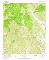
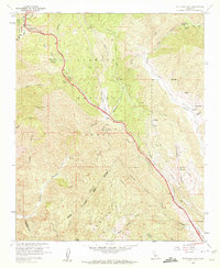
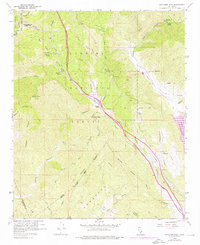
Editions of this 1958 Whitaker Peak Map
5 editions found
Other maps of this area

1900 · Piru
USGS Topo · 1:62,500

1903 · Tejon
USGS Topo · 1:125,000

1903 · Camulos
USGS Topo · 1:125,000

1903 · Santa Susana
USGS Topo · 1:62,500

1921 · Piru
USGS Topo · 1:62,500

1931 · Whitaker Peak
USGS Topo · 1:24,000

1931 · Santa Felicia Canyon
USGS Topo · 1:24,000

1931 · Castaic
USGS Topo · 1:24,000

1931 · Redrock Mtn
USGS Topo · 1:24,000

1932 · Beartrap Canyon
USGS Topo · 1:24,000