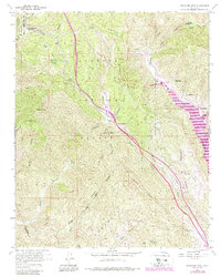
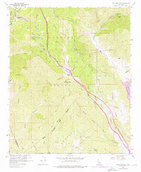
1958 Map of Whitaker Peak
USGS Topo · Published 1988About this map
Frenchmans Flat and the rugged canyonlands of the Angeles National Forest anchor this 1958 survey, revised in the late 1980s to reflect major infrastructure changes. The map documents the dramatic intersection of transportation history and water management, showing the legendary Old Ridge Route winding through the terrain alongside the modern Golden State Highway. The southern portion of the map is dominated by the development of the State Water Project, featuring the Castaic Lake reservoir, the Castaic Powerplant, and Elderberry Forebay. These massive engineering feats contrast with older, localized landmarks like the Whitaker Peak Lookout and remote outposts such as Paradise Ranch and Martins. Along Piru Creek, recreational spots like the Frenchmans Flat Campground and Camp Cantu provide a record of mid-century forest use before modern expansions altered the local topography.
Find a feature on this map
51 named features on this map. Tap any name to fly to it.
Don’t see what you’re looking for? This feature index may not catch every label — zoom into the map to look around manually.
Map Details
Editions of this 1958 Whitaker Peak Map
5 editions found
Other maps of this area

1900 · Piru
USGS Topo · 1:62,500

1903 · Tejon
USGS Topo · 1:125,000

1903 · Camulos
USGS Topo · 1:125,000

1903 · Santa Susana
USGS Topo · 1:62,500

1921 · Piru
USGS Topo · 1:62,500

1931 · Whitaker Peak
USGS Topo · 1:24,000

1931 · Santa Felicia Canyon
USGS Topo · 1:24,000

1931 · Castaic
USGS Topo · 1:24,000

1931 · Redrock Mtn
USGS Topo · 1:24,000

1932 · Beartrap Canyon
USGS Topo · 1:24,000