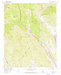
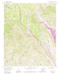
1958 Map of Whitaker Peak
USGS Topo · Published 1976About this map
Castaic Lake and the infrastructure of the California Aqueduct dominate this mid-century look at the mountains north of Los Angeles. The map documents a period of significant hydraulic engineering, featuring the Elderberry Forebay, Penstock systems, and the Castaic Powerplant as they integrated into the drainage of Castaic Creek.
Find a feature on this map
57 named features on this map. Tap any name to fly to it.
Don’t see what you’re looking for? This feature index may not catch every label — zoom into the map to look around manually.
Map Details
Editions of this 1958 Whitaker Peak Map
5 editions found
Other maps of this area

1900 · Piru
USGS Topo · 1:62,500

1903 · Tejon
USGS Topo · 1:125,000

1903 · Camulos
USGS Topo · 1:125,000

1903 · Santa Susana
USGS Topo · 1:62,500

1921 · Piru
USGS Topo · 1:62,500

1931 · Whitaker Peak
USGS Topo · 1:24,000

1931 · Santa Felicia Canyon
USGS Topo · 1:24,000

1931 · Castaic
USGS Topo · 1:24,000

1931 · Redrock Mtn
USGS Topo · 1:24,000

1932 · Beartrap Canyon
USGS Topo · 1:24,000