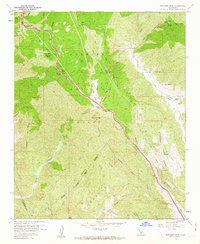
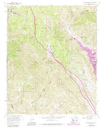
1958 Map of Whitaker Peak
USGS Topo · Published 1963About this map
Whitaker Peak and the high mountain terrain of northwestern Los Angeles County dominate this 1958 survey. The landscape is defined by the steep descent of Violin Canyon and Marple Canyon, where the Golden State Highway winds through the Angeles National Forest. Significant transportation infrastructure is visible, including the alignment of Old Route 99 and various firebreaks that crisscross the ridges near Townsend Peak. Small enclaves and remote outposts such as Paradise Ranch, Frenchmans Flat Campground, and Osito appear along the mountain corridors. The map provides a look at the mid-century development of the region's roadway system before modern interstate expansions, showing local features like the Whitaker Peak Lookout and several named springs and flats that served as critical points in this arid, high-elevation environment.
Find a feature on this map
48 named features on this map. Tap any name to fly to it.
Don’t see what you’re looking for? This feature index may not catch every label — zoom into the map to look around manually.
Map Details
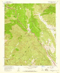
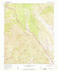
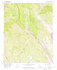
Editions of this 1958 Whitaker Peak Map
5 editions found
Other maps of this area

1900 · Piru
USGS Topo · 1:62,500

1903 · Tejon
USGS Topo · 1:125,000

1903 · Camulos
USGS Topo · 1:125,000

1903 · Santa Susana
USGS Topo · 1:62,500

1921 · Piru
USGS Topo · 1:62,500

1931 · Whitaker Peak
USGS Topo · 1:24,000

1931 · Santa Felicia Canyon
USGS Topo · 1:24,000

1931 · Castaic
USGS Topo · 1:24,000

1931 · Redrock Mtn
USGS Topo · 1:24,000

1932 · Beartrap Canyon
USGS Topo · 1:24,000