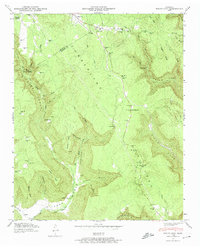
1947 Map of White City
USGS Topo · Published 1974About this map
The Cumberland Plateau landscape of Marion and Grundy counties unfolds across this 1947 field examination, revealing a remote highland region defined by deep sandstone gorges and scattered rural settlements. Small hamlets and family-named homesteads such as White City, Lankford Town, and Oak Grove sit atop the high ridges, while the dramatic terrain drops away into the Gizzard Cove and Robinson Cove. Local education and community life are marked by the presence of the Pryor Ridge Sch, Foster Falls Sch, and Pine Set Sch.
Find a feature on this map
88 named features on this map. Tap any name to fly to it.
Don’t see what you’re looking for? This feature index may not catch every label — zoom into the map to look around manually.
Map Details
Editions of this 1947 White City Map
4 editions found
Other maps of this area

1895 · Sewanee
USGS Topo · 1:125,000

1936 · Palmer
USGS Topo · 1:24,000

1936 · Orme
USGS Topo · 1:24,000

1936 · Whitwell
USGS Topo · 1:24,000

1936 · Burrow Cove
USGS Topo · 1:24,000

1936 · Tracy City
USGS Topo · 1:24,000

1936 · Monteagle
USGS Topo · 1:24,000

1936 · White City
USGS Topo · 1:24,000
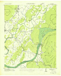
1936 · Sequatchie
USGS Topo · 1:24,000
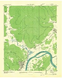
1936 · South Pittsburg
USGS Topo · 1:24,000