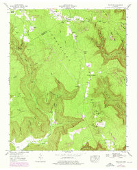
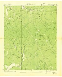
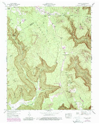
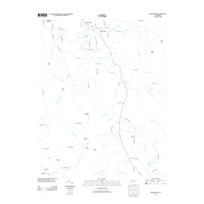
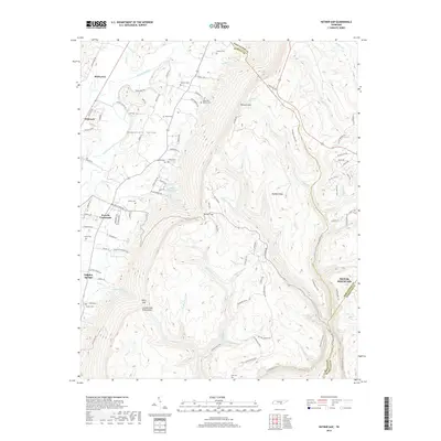
1947 Map of White City
USGS Topo · Published 1976About this map
Cumberland Plateau terrain dominates this 1947 survey of the borderlands between Grundy and Marion counties. The landscape is defined by deep incisions like Robinson Cove and Dixon Cove, where numerous Strip Mines indicate the region's mid-century industrial activity. Settlement is dispersed across the high flats and within the coves, including small clusters at White City and Lankford Town, alongside family-named sites such as Sides Place and Pyburn Place.
Find a feature on this map
48 named features on this map. Tap any name to fly to it.
Don’t see what you’re looking for? This feature index may not catch every label — zoom into the map to look around manually.
Map Details
Editions of this 1947 White City Map
4 editions found
Historical Maps of Oak Grove Through Time
25 maps found

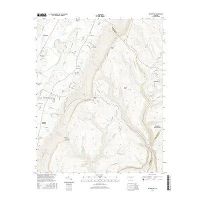
1936 Ketner Gap
Marion County, TN
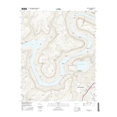
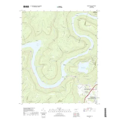
1936 Wauhatchie
Marion County, TN
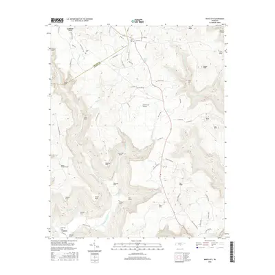
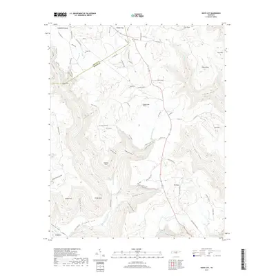
1936 White City
Marion County, TN
1942 Wauhatchie
Marion County, TN
1943 Ketner Gap
Marion County, TN
1943 Wauhatchie
Marion County, TN

1946 Ketner Gap
Marion County, TN
1947 White City
Marion County, TN
1950 White City
Marion County, TN
1970 Wauhatchie
Marion County, TN
2010 Ketner Gap
Marion County, TN
2010 Wauhatchie
Marion County, TN
2010 White City
Marion County, TN
2013 Ketner Gap
Marion County, TN
2013 Wauhatchie
Marion County, TN
2013 White City
Marion County, TN
2016 Ketner Gap
Marion County, TN
2016 Wauhatchie
Marion County, TN
2016 White City
Marion County, TN
2019 Ketner Gap
Marion County, TN
2019 Wauhatchie
Marion County, TN
2019 White City
Marion County, TN
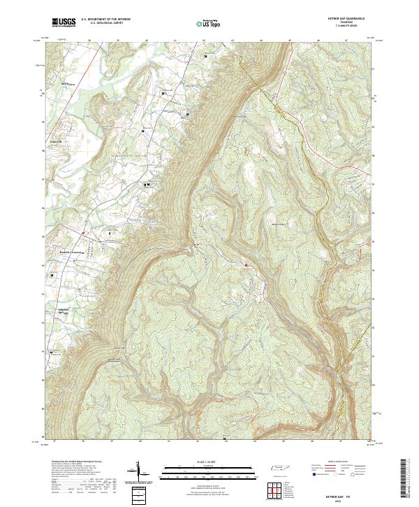
2022 Ketner Gap
Marion County, TN
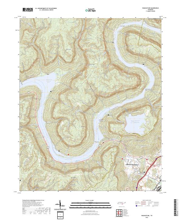
2022 Wauhatchie
Marion County, TN
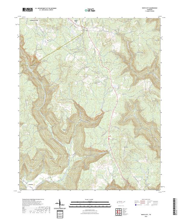
2022 White City
Marion County, TN