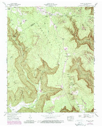
1947 Map of White City
USGS Topo · Published 1987About this map
The Cumberland Plateau landscape of Tennessee is defined here by deep indentations where the Big Fiery Gizzard Creek and its tributaries have carved a complex system of coves. Along the northern edge, the boundary between Grundy and Marion counties cuts across the upland forest, where small settlements like White City and Lankford Town took root. The map records several family-named locations such as Sides Place and Fyburo Place, providing valuable data for genealogists tracing regional land ownership and residence patterns.
Find a feature on this map
39 named features on this map. Tap any name to fly to it.
Don’t see what you’re looking for? This feature index may not catch every label — zoom into the map to look around manually.
Map Details
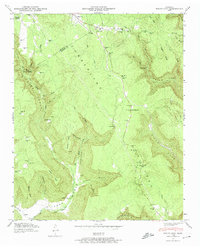
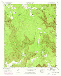
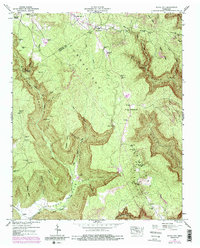
Editions of this 1947 White City Map
4 editions found
Other maps of this area

1895 · Sewanee
USGS Topo · 1:125,000

1936 · Palmer
USGS Topo · 1:24,000

1936 · Orme
USGS Topo · 1:24,000

1936 · Whitwell
USGS Topo · 1:24,000

1936 · Burrow Cove
USGS Topo · 1:24,000

1936 · Tracy City
USGS Topo · 1:24,000

1936 · Monteagle
USGS Topo · 1:24,000

1936 · White City
USGS Topo · 1:24,000
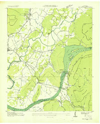
1936 · Sequatchie
USGS Topo · 1:24,000
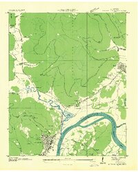
1936 · South Pittsburg
USGS Topo · 1:24,000