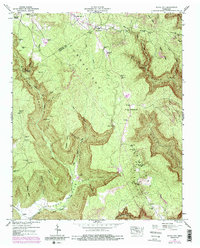
1947 Map of White City
USGS Topo · Published 1987About this map
Cumberland Mountain dominates this landscape along the border of Grundy and Marion Counties, where the deep carvings of the Fiery Gizzard Cove and Indian Cove create a dramatic topography of points and ridges. The map captures a post-war rural environment transitioning between timber, mining, and agriculture. Small settlements like White City and Oak Grove are situated on the higher plateau, while family-named landmarks such as Sides Place and Pyburn Place mark the scattered habitation of the valley floors. Evidence of industrial activity is present in the Strip Mines located near Robinson Cove, showing how the land was being worked during the mid-20th century. Local landmarks like the Foster Falls Sch and Gregg Cem provide vital touchpoints for genealogists researching family ties in this pocket of the Tennessee mountains.
Find a feature on this map
77 named features on this map. Tap any name to fly to it.
Don’t see what you’re looking for? This feature index may not catch every label — zoom into the map to look around manually.
Map Details
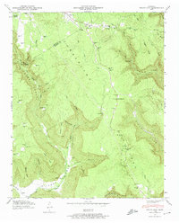
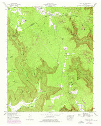
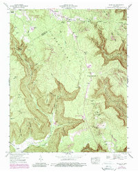
Editions of this 1947 White City Map
4 editions found
Other maps of this area

1895 · Sewanee
USGS Topo · 1:125,000

1936 · Palmer
USGS Topo · 1:24,000

1936 · Orme
USGS Topo · 1:24,000

1936 · Whitwell
USGS Topo · 1:24,000

1936 · Burrow Cove
USGS Topo · 1:24,000

1936 · Tracy City
USGS Topo · 1:24,000

1936 · Monteagle
USGS Topo · 1:24,000

1936 · White City
USGS Topo · 1:24,000
1936 · Sequatchie
USGS Topo · 1:24,000
1936 · South Pittsburg
USGS Topo · 1:24,000