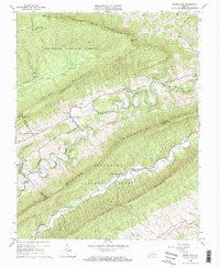
1965 Map of White Gate
USGS Topo · Published 1967About this map
Walker Creek meanders through a series of dramatic bends across this mid-1960s terrain, anchoring a landscape defined by the parallel ridges of Sugar Run Mountain, Brushy Mountain, and Walker Mountain. This rural pocket of the Jefferson National Forest is characterized by remote settlements like White Gate and Alum Springs, alongside institutional landmarks such as the Bland State Correctional Farm.
Find a feature on this map
36 named features on this map. Tap any name to fly to it.
Don’t see what you’re looking for? This feature index may not catch every label — zoom into the map to look around manually.
Map Details
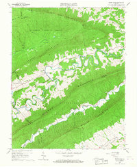
Editions of this 1965 White Gate Map
2 editions found
Other maps of this area

1890 · Dublin
USGS Topo · 1:125,000

1891 · Dublin
USGS Topo · 1:125,000

1913 · Peterstown
USGS Topo · 1:48,000

1916 · Peterstown
USGS Topo · 1:62,500

1923 · Pearisburg
USGS Topo · 1:62,500

1925 · Peterstown
USGS Topo · 1:62,500

1932 · Peterstown
USGS Topo · 1:48,000

1932 · Pearisburg
USGS Topo · 1:48,000

1934 · Pulaski
USGS Topo · 1:48,000

1937 · Pearisburg
USGS Topo · 1:62,500