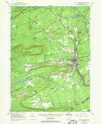
1947 Map of White Haven
USGS Topo · Published 1969About this map
White Haven sits at the heart of this post-war landscape, where the Lehigh River carves through the mountains of northeastern Pennsylvania. This 1947 survey, with revisions into the late 1960s, documents a critical transportation corridor shaped by the Central RR of New Jersey and the Lehigh Valley RR. The industrial heritage of the region is evident in the numerous Strip Mine operations scattered across Foster Mountain and the presence of specialized rail features like Scale Siding and Bear Creek Junction.
Find a feature on this map
51 named features on this map. Tap any name to fly to it.
Don’t see what you’re looking for? This feature index may not catch every label — zoom into the map to look around manually.
Map Details
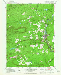
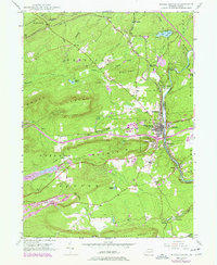
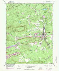
Editions of this 1947 White Haven Map
4 editions found
Other maps of this area

1889 · Hazleton
USGS Topo · 1:62,500

1891 · Wilkesbarre
USGS Topo · 1:62,500

1891 · Hazleton
USGS Topo · 1:62,500

1893 · Hazleton
USGS Topo · 1:62,500

1894 · Wilkesbarre
USGS Topo · 1:62,500

1922 · Mauch Chunk
USGS Topo · 1:62,500

1922 · Stoddartsville
USGS Topo · 1:62,500

1924 · Stoddartsville
USGS Topo · 1:62,500

1924 · Mauch Chunk
USGS Topo · 1:62,500

1943 · Scranton
USGS Topo · 1:125,000