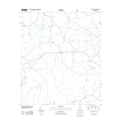
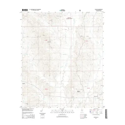
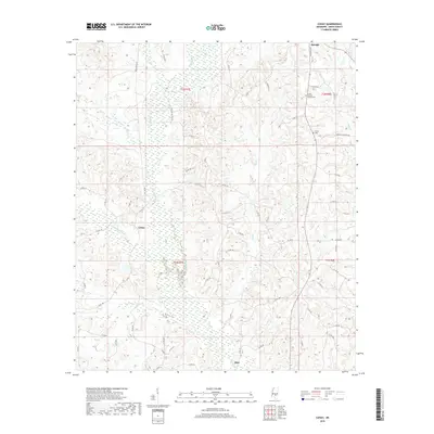
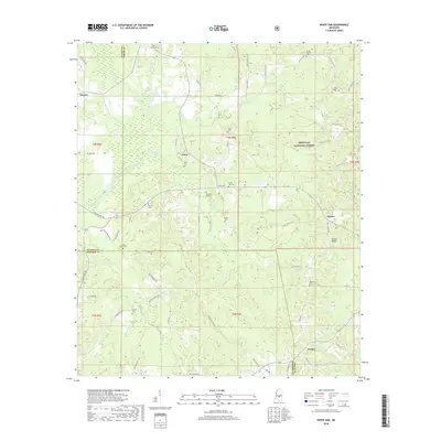
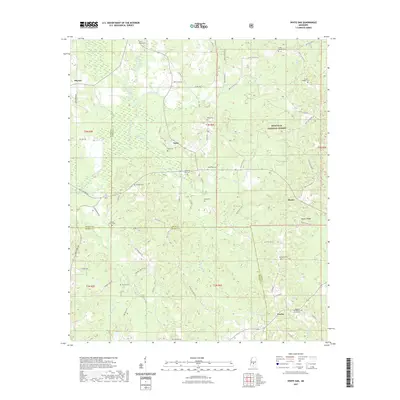
2024 Map of White Oak
USGS Topo · Published 2024About this map
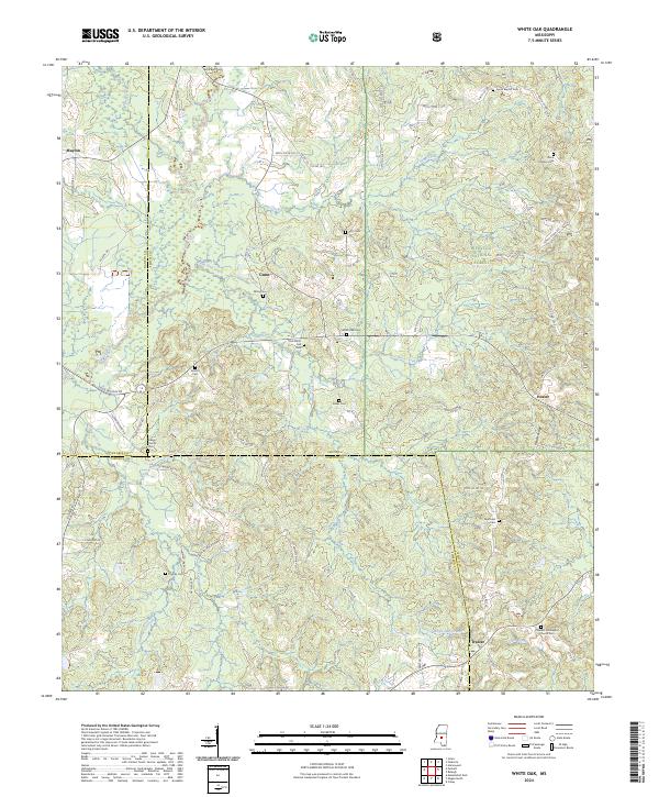
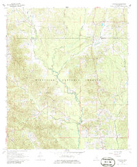
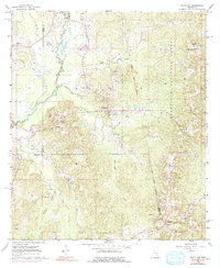
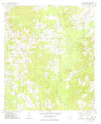
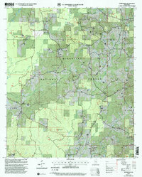
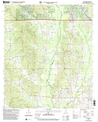
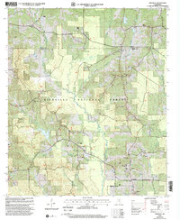
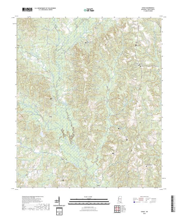
Bienville National Forest covers much of this landscape in Smith County, where the terrain is defined by the winding course of the Strong River and its numerous tributaries. Small rural communities like Mayton, Gunn, Heater, and Traxler serve as local hubs connected by a network of county roads. The map reveals a dense distribution of family and community burial grounds, such as Miley Cem, Old White Oak Cem, and Everett Cem, which offer significant value for genealogists tracing local lineage. The southern portion of the sheet is marked by the Smith County and Simpson County line, crossing through the watershed of White Oak Creek and Coon Creek. Evidence of local religious life is found at the Galilee Church and Pleasant Hill Baptist Church Cem, centers of community identity in this heavily forested timber and agricultural region.
Find a feature on this map
77 named features on this map. Tap any name to fly to it.
Don’t see what you’re looking for? This feature index may not catch every label — zoom into the map to look around manually.
Map Details
Editions of this 2024 White Oak Map
This is the sole edition of this map. No revisions or reprints were ever made.
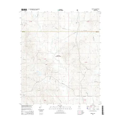
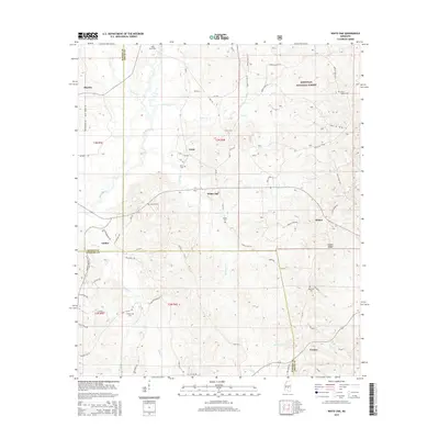
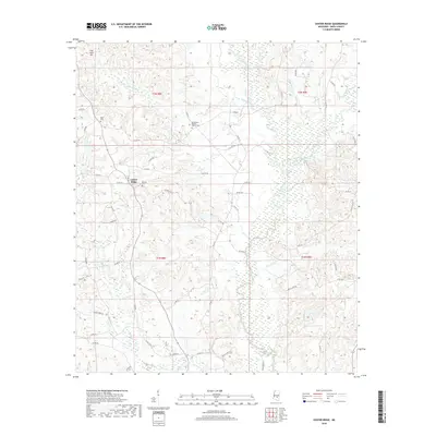
Historical Maps of Gunn Through Time
41 maps found
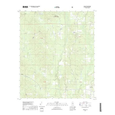
1935 White Oak
Smith County, MS
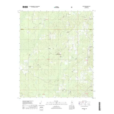
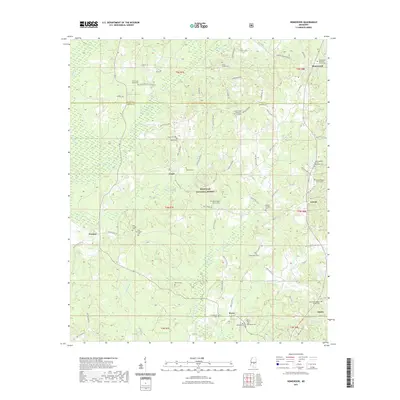
1968 Homewood
Smith County, MS
1968 Louin SW
Smith County, MS
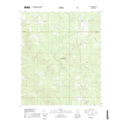
1968 Pineville
Smith County, MS
1968 White Oak
Smith County, MS
1975 Center Ridge
Smith County, MS

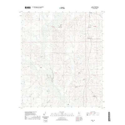
1975 Cohay
Smith County, MS
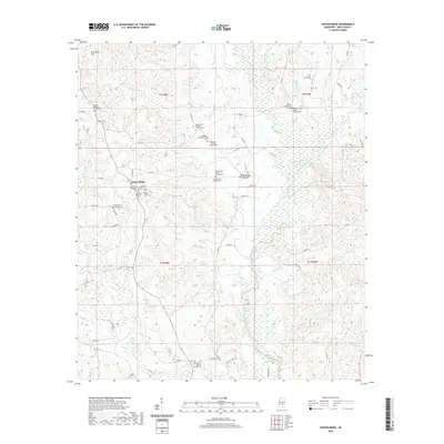
2000 Homewood
Smith County, MS
2000 Louin SW
Smith County, MS
2000 Pineville
Smith County, MS
2000 White Oak
Smith County, MS
2012 Center Ridge
Smith County, MS
2012 Cohay
Smith County, MS
2012 Homewood
Smith County, MS
2012 Louin SW
Smith County, MS
2012 Pineville
Smith County, MS
2012 White Oak
Smith County, MS
2015 Center Ridge
Smith County, MS
2015 Cohay
Smith County, MS
2015 Homewood
Smith County, MS
2015 Louin SW
Smith County, MS
2015 Pineville
Smith County, MS
2015 White Oak
Smith County, MS
2018 Center Ridge
Smith County, MS
2018 Cohay
Smith County, MS
2018 Homewood
Smith County, MS
2018 Louin SW
Smith County, MS
2018 Pineville
Smith County, MS
2018 White Oak
Smith County, MS
2020 Center Ridge
Smith County, MS
2020 Cohay
Smith County, MS
2021 Homewood
Smith County, MS
2021 Louin SW
Smith County, MS
2021 Pineville
Smith County, MS
2021 White Oak
Smith County, MS
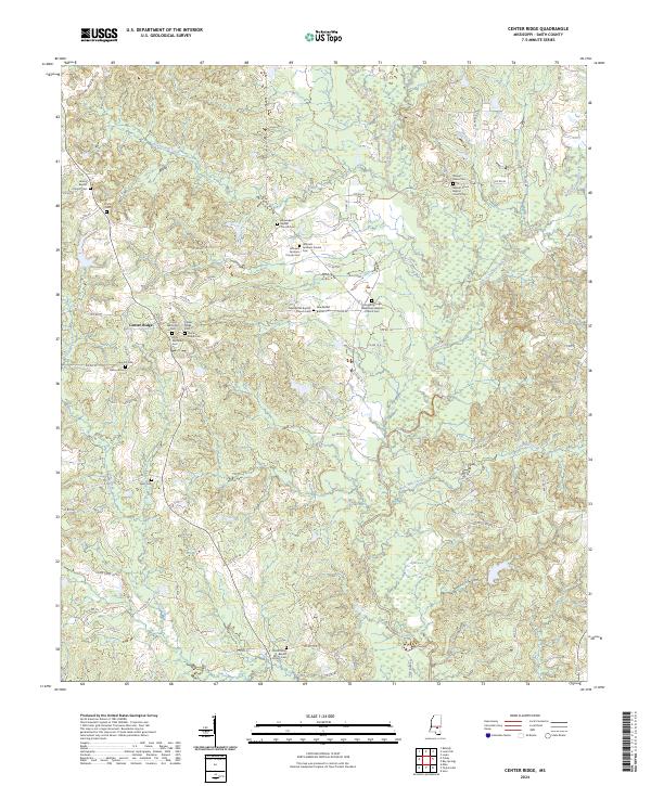
2024 Center Ridge
Smith County, MS
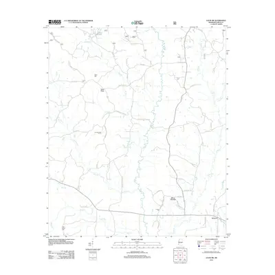
2024 Cohay
Smith County, MS
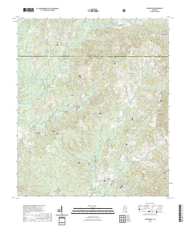
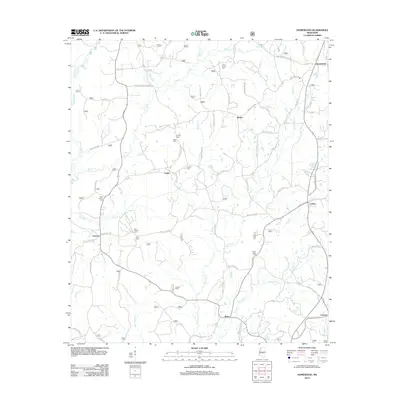
2024 Homewood
Smith County, MS
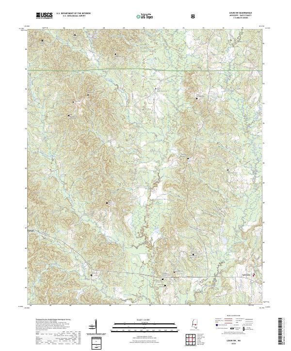
2024 Louin SW
Smith County, MS
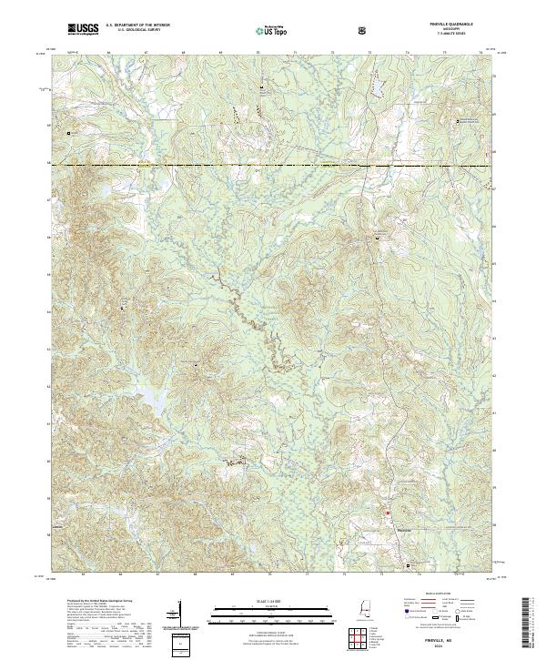
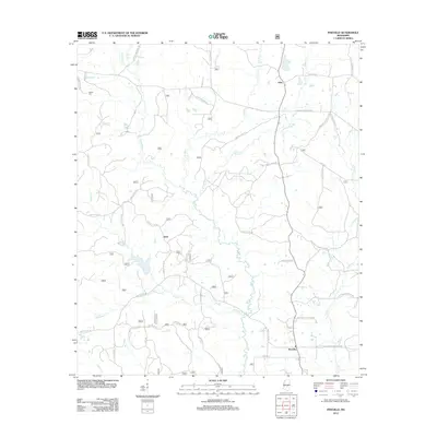
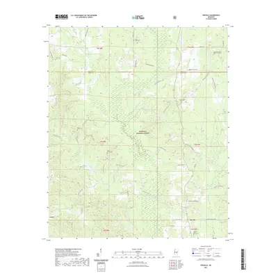
2024 Pineville
Smith County, MS
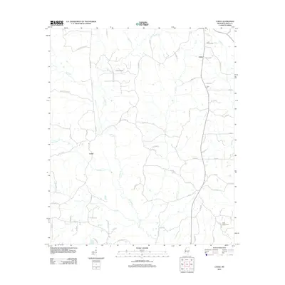
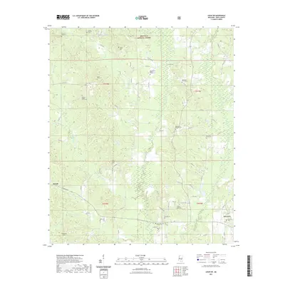
2024 White Oak
Smith County, MS