Loading...
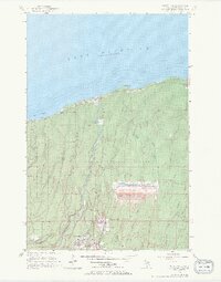
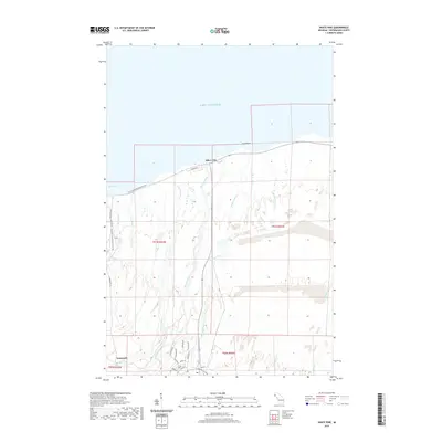
Loading map...1956 Map of White Pine
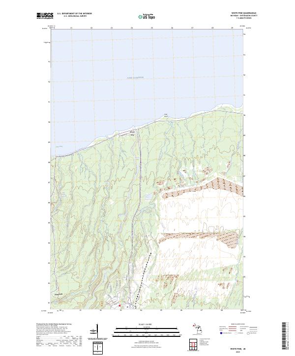
USGS Topo · Published 1982About this map
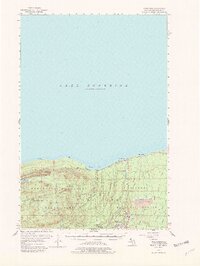
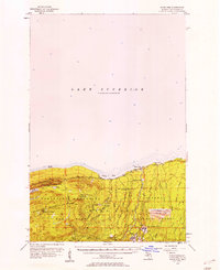
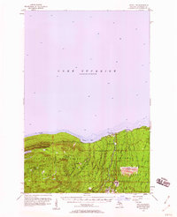
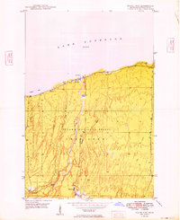
The Porcupine Mountains dominate this 1950s survey of Michigan’s Upper Peninsula copper country, rising sharply above the southern shore of Lake Superior. The landscape is a study in early industrial extraction and the burgeoning preservation of the Porcupine Mountains State Park. Evidence of the region’s mineral wealth is concentrated near the settlement of White Pine, where the White Pine Mine and an extensive Tailings Pond indicate the scale of mid-century operations.
Find a feature on this map
40 named features on this map. Tap any name to fly to it.
Don’t see what you’re looking for? This feature index may not catch every label — zoom into the map to look around manually.
Map Details
Date Portrayed1956
Date Published1982
PublisherU.S. Geological Survey
Map TypeTopographic
Scale1:62,500
Physical Dimensions16.39 x 21.78 inches
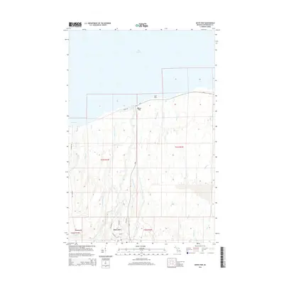
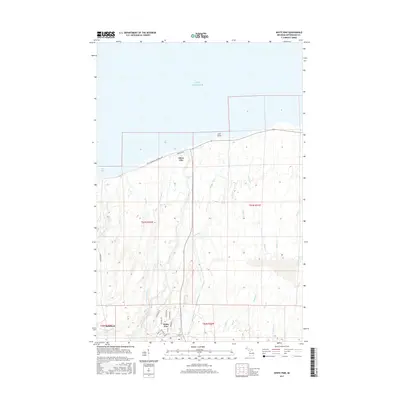
Editions of this 1956 White Pine Map
3 editions found
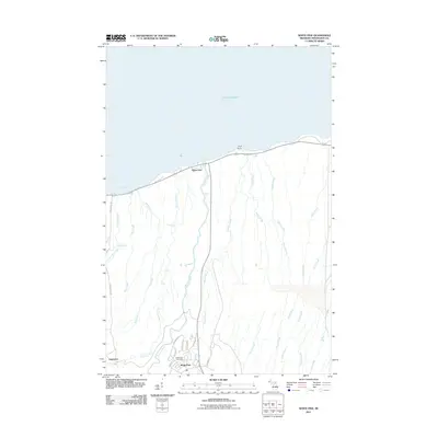
Historical Maps of Carp Lake Township Through Time
8 maps found
Featured Locations
- United States
- Ontonagon County, MI
- Carp Lake Township, MI
- Silver City, Carp Lake Township
- White Pine, Carp Lake Township
Source Details
SourceU.S. Geological Survey
CopyrightPublic Domain