
1918 Map of White Rock
USGS Topo · Published 1918About this map
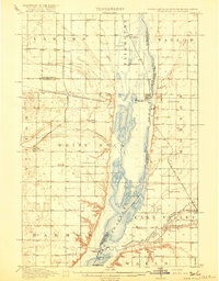
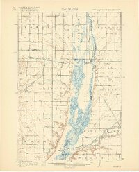
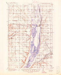
The Bois de Sioux River and the sprawling lake system of Lake Traverse dominate this 1915 survey of the tri-state border region. At this time, the Sisseton and Wahpeton Indian Reservation boundary cuts through the central landscape, marking a transition in land use and settlement. The rail-and-river economy is evident in the cluster of small prairie towns like White Rock and Rosholt, which served as vital hubs for the surrounding agricultural townships.
Find a feature on this map
41 named features on this map. Tap any name to fly to it.
Don’t see what you’re looking for? This feature index may not catch every label — zoom into the map to look around manually.
Map Details
Editions of this 1918 White Rock Map
4 editions found
Other maps of this area

1904 · Wahpeton
USGS Topo · 1:125,000

1915 · White Rock
USGS Topo · 1:62,500

1916 · Peever
USGS Topo · 1:62,500

1916 · Beardsley
USGS Topo · 1:62,500

1917 · New Effington
USGS Topo · 1:62,500

1918 · Peever
USGS Topo · 1:62,500

1918 · Beardsley
USGS Topo · 1:62,500

1950 · Graceville
USGS Topo · 1:62,500

1951 · Wheaton
USGS Topo · 1:62,500

1951 · Campbell
USGS Topo · 1:62,500