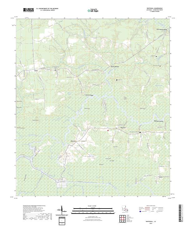
2024 Map of Whitehall
USGS Topo · Published 2024About this map
The low-lying wetlands of Livingston Parish are defined by the winding course of the Amite River and its intricate network of bayous and canals. Near the southern edge of the map, the settlement of Whitehall sits adjacent to the Chinquapin Canal, a testament to the region's historic reliance on waterborne transport and drainage in the marshy landscape. The geography is punctuated by numerous islands such as Poche Island, Steam Island, and Caney Island, which rise slightly above the surrounding swamp.
Find a feature on this map
90 named features on this map. Tap any name to fly to it.
Don’t see what you’re looking for? This feature index may not catch every label — zoom into the map to look around manually.
Map Details
Editions of this 2024 Whitehall Map
This is the sole edition of this map. No revisions or reprints were ever made.
Other maps of this area

1892 · Mount Airy
USGS Topo · 1:62,500

1892 · Donaldsonville
USGS Topo · 1:62,500

1934 · Denham Springs
USGS Topo · 1:62,500

1934 · Springfield
USGS Topo · 1:62,500

1939 · Springfield
USGS Topo · 1:62,500

1939 · Denham Springs
USGS Topo · 1:62,500

1939 · Donaldsonville
USGS Topo · 1:62,500

1946 · North of Garyville
USGS Topo · 1:31,680

1946 · Petite Amite River
USGS Topo · 1:31,680

1947 · Sorrento
USGS Topo · 1:31,680